Venserpolder, Amsterdam
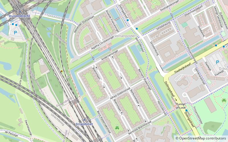
Map
Facts and practical information
Venserpolder is a neighborhood of Amsterdam, Netherlands. ()
Address
Zuidoost (Bijlmer-Centrum)Amsterdam
ContactAdd
Social media
Add
Getting there by public transportation
Public transportation stops near this location
- Metro
- Bus
- Tram
- Train
 Metro
Metro
- Calculate routeDostojevskisingel 5 min walk
- Calculate routeDolingadreef 7 min walk
- Calculate routeDalsteindreef 8 min walk
- Calculate routeDennenrode 9 min walk
- Calculate routeStrandvliet 5 min walk
- Calculate routeDuivendrecht 10 min walk
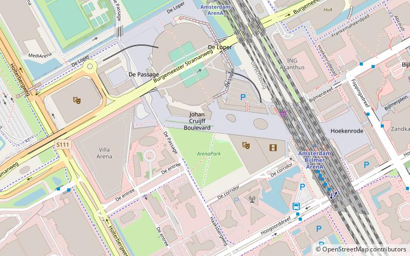
- Calculate routeVenserpolder 11 min walk
- Calculate routeAmsterdam ArenA 9 min walk
- Calculate routeSniep 40 min walk
Maps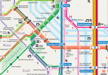 Metro / Trams
Metro / TramsDay trips


Frequently Asked Questions (FAQ)
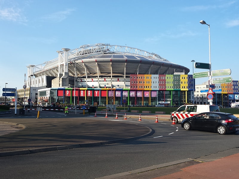
Which popular attractions are close to Venserpolder?
Nearby attractions include Amsterdam ArenA, Amsterdam (12 min walk), World of Ajax, Amsterdam (15 min walk), Ziggo Dome, Amsterdam (15 min walk), AFAS Live, Amsterdam (15 min walk).
How to get to Venserpolder by public transport?
The nearest stations to Venserpolder:
Bus
Metro
Train
Tram
Bus
- Dostojevskisingel • Lines: 41 (5 min walk)
- Dolingadreef • Lines: 200, 271, 41, 44, N85, N86 (7 min walk)
Metro
- Strandvliet • Lines: 50, 54 (5 min walk)
- Duivendrecht • Lines: 50, 54 (10 min walk)
Train
- Amsterdam ArenA (9 min walk)
Tram
- Sniep • Lines: 19 (40 min walk)