High Mountain Texel, Texel


Facts and practical information
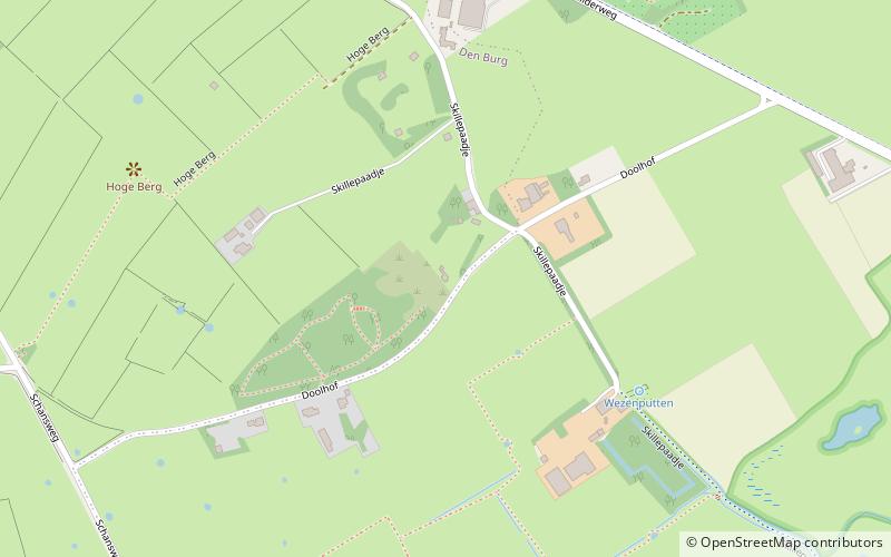
De Hoge Berg is the highest point of a boulder hill on the island of Texel. The hill is 15 meters high and is located between the villages of Den Burg and Oudeschild. It was formed during one of the ice ages, the Saale glacial, the period in which the island of Wieringen and Gaasterland were also formed. Despite its low height, the hill is clearly visible from Den Helder and Wieringen and there is a wide view from the top. Characteristic of the area are many garden walls that surround almost all plots. The area is intersected by many footpaths that run between the garden walls. Offshoots of the Hoge Berg are the Noordhaffel and the Zuidhaffel. The Hoge Berg is a landscape reserve protected as a national landscape and managed by Vereniging Natuurmonumenten.
Southeast of the hill is the forest Doolhof. Directly east of the Doolhof lies the former excavation de Zandkuil which is an insect reserve. On the Zuidhaffel lies the Honorary Cemetery Hoge Berg Texel, where the Georgians who died during the Georgian Uprising at the end of World War II are buried.
Texel
High Mountain Texel – popular in the area (distance from the attraction)
Nearby attractions include: Zwembad Molenkoog, Maritime & Beachcombers Museum, De Traanroeier, De Zelfpluktuin.


