Albrandswaard, Rotterdam
Map
Gallery
Facts and practical information
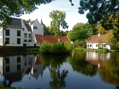
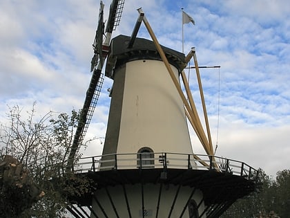
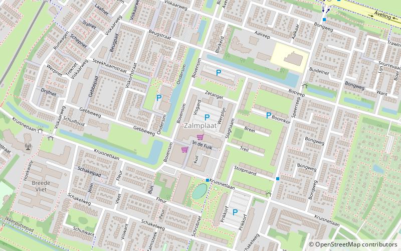
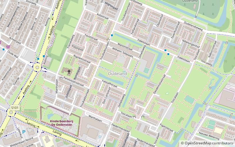
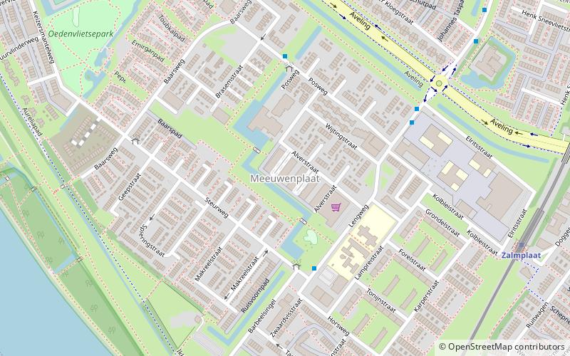
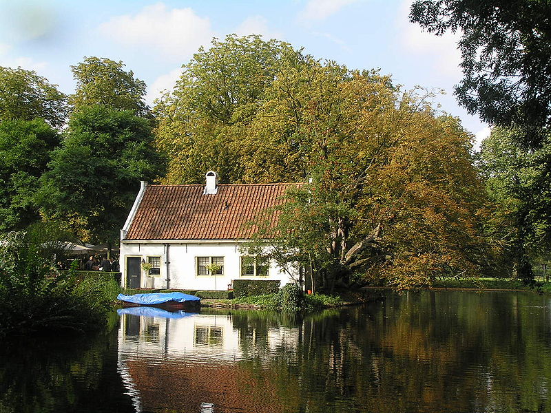
Albrandswaard is a municipality in the western Netherlands, in the province of South Holland. The municipality had a population of 25,271 as of 2019, and covers an area of 23.76 km2 of which 2.07 km2 is water. ()
Day trips
Albrandswaard – popular in the area (distance from the attraction)
Nearby attractions include: Albrandswaard Avonturen Park, De Zandweg, D'Oliphant, Spijkenisserbrug.
Frequently Asked Questions (FAQ)
How to get to Albrandswaard by public transport?
The nearest stations to Albrandswaard:
Bus
Metro
Bus
- Werkersdijk • Lines: 65 (6 min walk)
- Klimop • Lines: 602 (7 min walk)
Metro
- Poortugaal • Lines: D (13 min walk)
- Rhoon • Lines: D (18 min walk)
