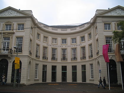
The Hague Center, The Hague
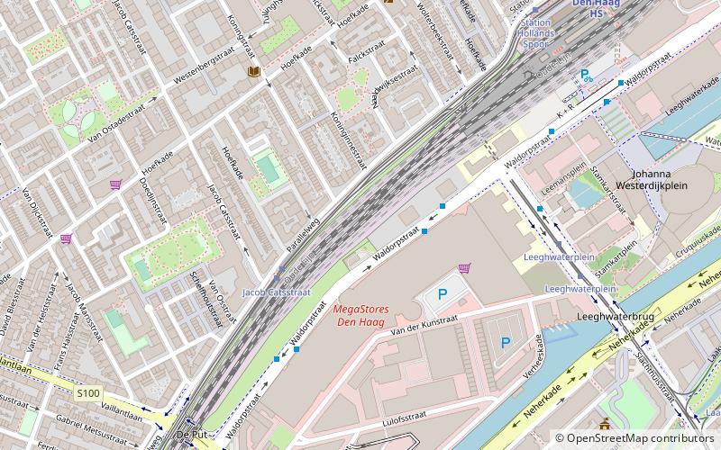
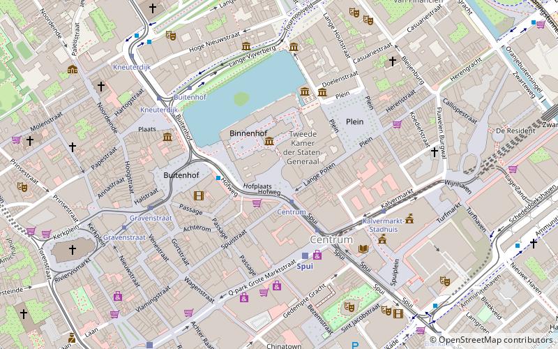
Map
Facts and practical information
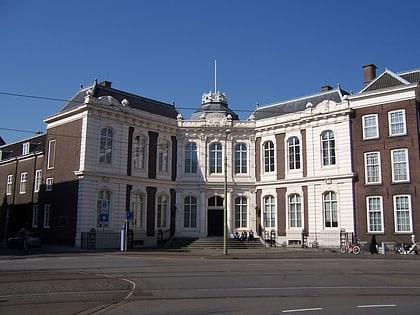
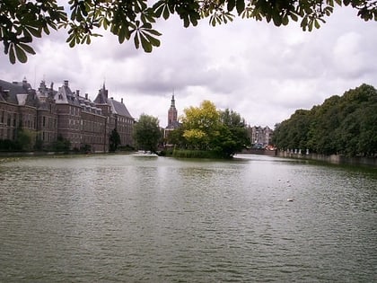
The City Center of The Hague is the oldest and, with a population of 104,658 inhabitants, the second largest of The Hague's eight districts, consisting of nine neighbourhoods. Two railways stations can be found in the city center: Den Haag Centraal and Den Haag Hollands Spoor. ()
Address
Laakkwartier en Spoorwijk (Laakhaven-West)The Hague
ContactAdd
Social media
Add
Day trips
The Hague Center – popular in the area (distance from the attraction)
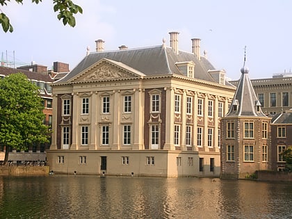
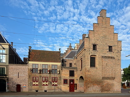
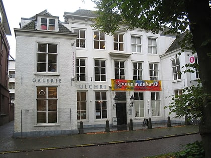
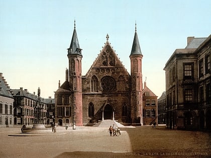
Nearby attractions include: Mauritshuis, Galerij Prins Willem V, Pulchri Studio, De Passage.
Frequently Asked Questions (FAQ)
Which popular attractions are close to The Hague Center?
Nearby attractions include Haags Openbaar Vervoer Museum, The Hague (12 min walk), Het Strijkijzer, The Hague (12 min walk), Laak, The Hague (15 min walk), Chinatown, The Hague (17 min walk).
How to get to The Hague Center by public transport?
The nearest stations to The Hague Center:
Bus
Tram
Train
Metro
Bus
- Megastores Hoofdingang • Lines: 22, 26, 29 (2 min walk)
- Haagse Hogeschool/HS • Lines: 827 (6 min walk)
Tram
- Jacob Catsstraat • Lines: 11, 12, 9 (3 min walk)
- Leeghwaterplein • Lines: 1, 16, 17 (6 min walk)
Train
- Den Haag HS (8 min walk)
- Den Haag Moerwijk (24 min walk)
Metro
- Den Haag Centraal • Lines: E (27 min walk)
