Segbroek, The Hague
Map
Map

Facts and practical information
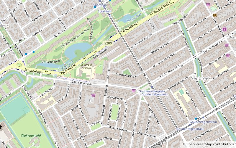
Segbroek is one of eight districts of The Hague in the Netherlands. The district was established by the city in 1988. It has a total area of 7.19 square kilometres and a population of 60,054 as of January 2013. Segbroek is divided into five neighbourhoods: Bomen- en Bloemenbuurt, Regentessekwartier, Valkenboskwartier, Vogelwijk and Vruchtenbuurt. ()
Address
Bomen-en Bloemenbuurt (Bloemenbuurt-Oost)The Hague
ContactAdd
Social media
Add
Day trips
Segbroek – popular in the area (distance from the attraction)
Nearby attractions include: Kunstmuseum Den Haag, Oud Eik en Duinen, Museon, Dekkersduin.
Frequently Asked Questions (FAQ)
Which popular attractions are close to Segbroek?
Nearby attractions include Oud Eik en Duinen, The Hague (19 min walk), Dekkersduin, The Hague (22 min walk).
How to get to Segbroek by public transport?
The nearest stations to Segbroek:
Tram
Bus
Tram
- Goudenregenplein • Lines: 12 (3 min walk)
- Sportlaan • Lines: 12 (6 min walk)
Bus
- Nieboerweg • Lines: 24 (6 min walk)
- Kwartellaan • Lines: 24 (8 min walk)


