Leidschenveen-Ypenburg, The Hague
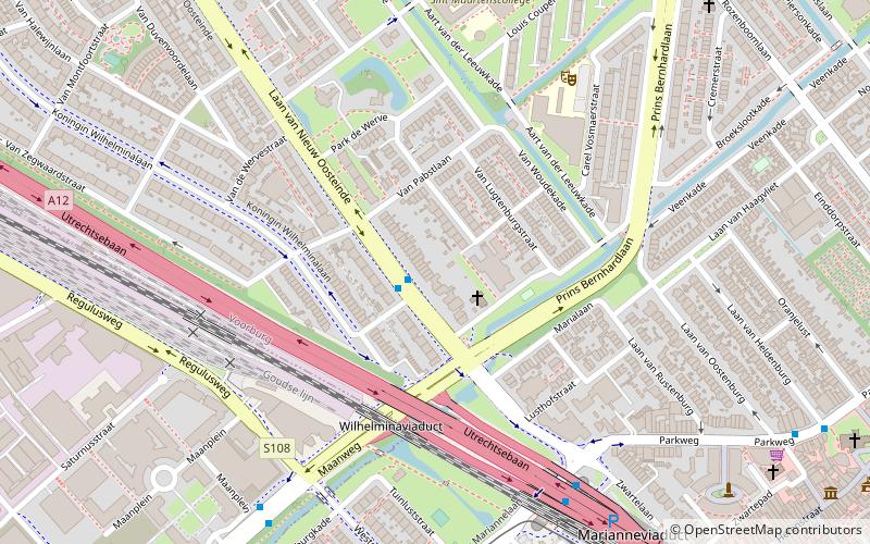
Map
Facts and practical information
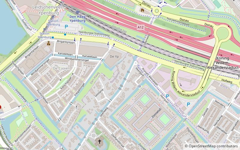
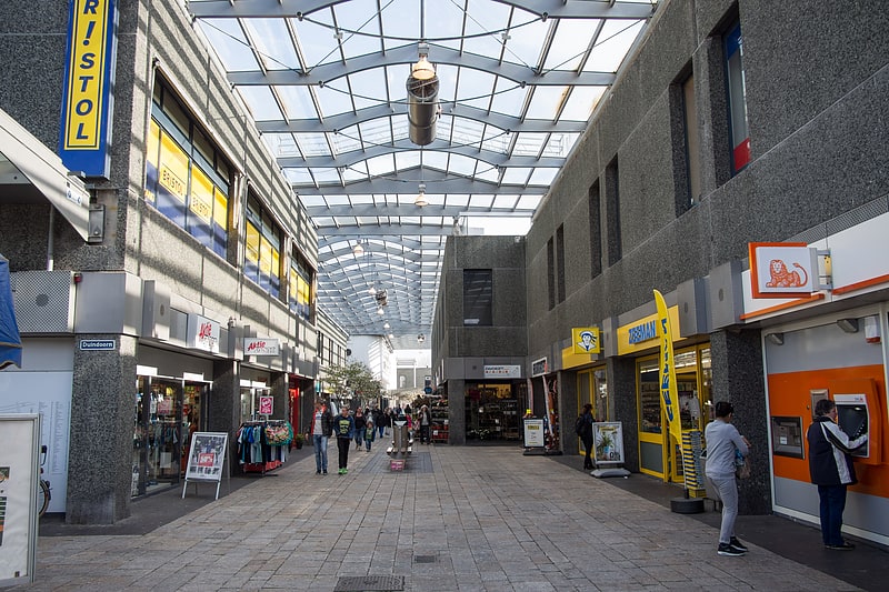
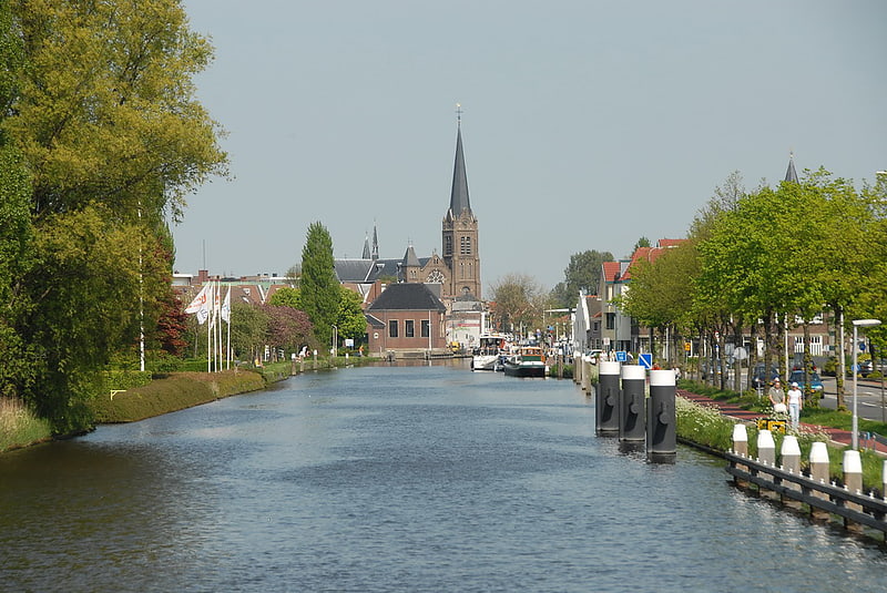
Leidschenveen-Ypenburg is a Vinex-location and district of The Hague, located in the southeast. It is geographically connected to the main body of the city by only a narrow corridor. It consists of four quarters: Hoornwijk and Ypenburg on the southwest of the A12 motorway and parallel railway to Utrecht, and Forepark and Leidschenveen on the northeast. ()
Address
The Hague
ContactAdd
Social media
Add
Getting there by public transportation
Public transportation stops near this location
- Metro
- Bus
- Tram
- Train
 Metro
Metro
- Calculate routeStation Ypenburg 6 min walk
- Calculate routeWeidevogellaan 11 min walk
- Calculate routeGildeweg 11 min walk
- Calculate routeLaan van Nootdorp 12 min walk
- Calculate routeDen Haag Ypenburg 6 min walk
- Calculate routeStation Ypenburg 7 min walk
- Calculate routeWeidevogellaan 11 min walk
- Calculate routeLanen 14 min walk
- Calculate routeNootdorp Centrum 14 min walk
- Calculate routeLeidschenveen Centrum 22 min walk
- Calculate routeNootdorp 25 min walk
- Calculate routeForepark 30 min walk
Day trips


Frequently Asked Questions (FAQ)
How to get to Leidschenveen-Ypenburg by public transport?
The nearest stations to Leidschenveen-Ypenburg:
Bus
Train
Tram
Metro
Bus
- Station Ypenburg • Lines: 284, 30, 60 (6 min walk)
- Weidevogellaan • Lines: 284, 60 (11 min walk)
Train
- Den Haag Ypenburg (6 min walk)
Tram
- Station Ypenburg • Lines: 19 (7 min walk)
- Weidevogellaan • Lines: 19 (11 min walk)
Metro
- Leidschenveen Centrum • Lines: E (22 min walk)
- Nootdorp • Lines: E (25 min walk)