Hillesluis, Rotterdam
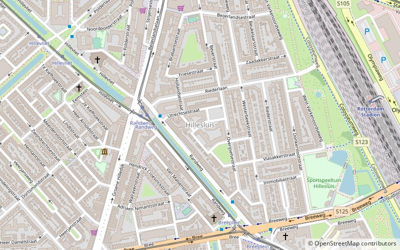
Map
Facts and practical information
Hillesluis is a neighborhood of Rotterdam, Netherlands. ()
Address
Feijenoord (Hillesluis)Rotterdam
ContactAdd
Social media
Add
Getting there by public transportation
Public transportation stops near this location
- Metro
- Bus
- Tram
- Train
 Metro
Metro
- Calculate routeRandweg 3 min walk
- Calculate routeBreeplein 5 min walk
- Calculate routeHillevliet 8 min walk
- Calculate routeRandweg 3 min walk
- Calculate routeBreeplein 6 min walk
- Calculate routeBeijerlandselaan 8 min walk
- Calculate routeHillevliet 8 min walk
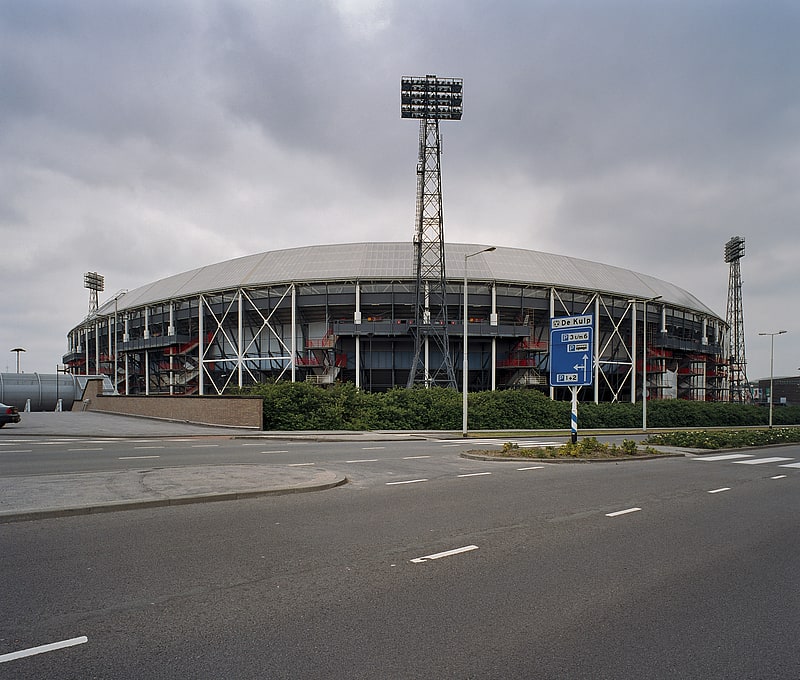
- Calculate routeRotterdam Stadion 9 min walk
- Calculate routeRotterdam Zuid 21 min walk
- Calculate routeRotterdam Lombardijen 31 min walk
- Calculate routeMaashaven 21 min walk
- Calculate routeRijnhaven 25 min walk
- Calculate routeZuidplein 29 min walk
- Calculate routeWilhelminaplein 34 min walk
Day trips


Frequently Asked Questions (FAQ)
Which popular attractions are close to Hillesluis?
Nearby attractions include Feijenoord, Rotterdam (5 min walk), Feijenoord district, Rotterdam (6 min walk), Kiefhoek, Rotterdam (7 min walk), De Veranda, Rotterdam (12 min walk).
How to get to Hillesluis by public transport?
The nearest stations to Hillesluis:
Bus
Tram
Train
Metro
Bus
- Randweg • Lines: 77 (3 min walk)
- Breeplein • Lines: 75, 77 (5 min walk)
Tram
- Randweg • Lines: 2, 20, 25 (3 min walk)
- Breeplein • Lines: 2, 20, 25 (6 min walk)
Train
- Rotterdam Stadion (9 min walk)
- Rotterdam Zuid (21 min walk)
Metro
- Maashaven • Lines: D, E (21 min walk)
- Rijnhaven • Lines: D, E (25 min walk)