Rivierenbuurt, Amsterdam
Map
Gallery
Facts and practical information
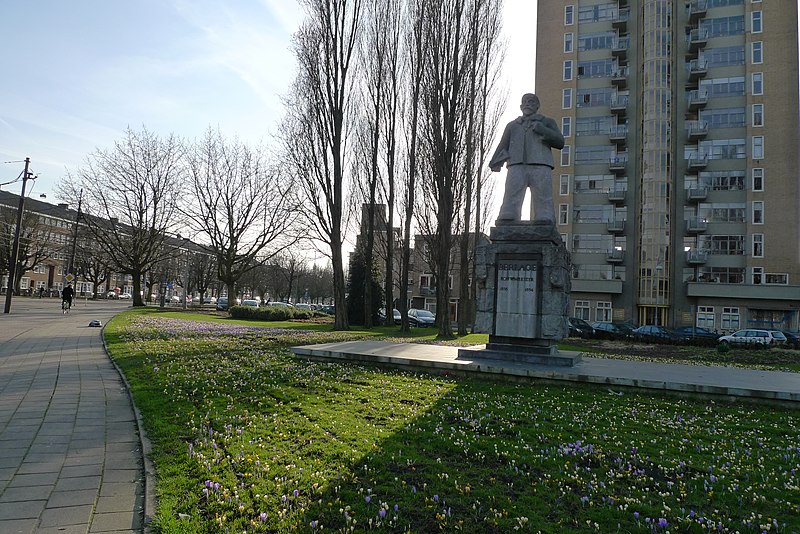
Rivierenbuurt is a neighbourhood of Amsterdam, Netherlands. The neighbourhood is situated in the eastern part of the borough of Amsterdam-Zuid, bordered by the river Amstel to the east, the Boerenwetering canal in the west, the Amstelkanaal in the north and the A10 motorway in the south. In 2013, the Rivierenbuurt had approximately 28,400 residents. ()
Address
Stadsdeel Zuid (Scheldebuurt)Amsterdam
ContactAdd
Social media
Add
Day trips
Rivierenbuurt – popular in the area (distance from the attraction)
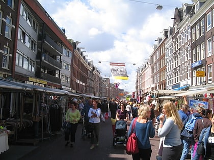
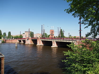
Nearby attractions include: Concertgebouw, Heineken Experience, Albert Cuyp Market, Berlagebrug.
Frequently Asked Questions (FAQ)
Which popular attractions are close to Rivierenbuurt?
Nearby attractions include Zomerdijkstraat, Amsterdam (3 min walk), Berlagebrug, Amsterdam (12 min walk), De Dageraad, Amsterdam (12 min walk), Diamantbuurt, Amsterdam (12 min walk).
How to get to Rivierenbuurt by public transport?
The nearest stations to Rivierenbuurt:
Bus
Tram
Metro
Train
Bus
- Waalstraat • Lines: 245, 62, 65, N84 (4 min walk)
- Victorieplein • Lines: 245, 62, N84 (5 min walk)
Tram
- Waalstraat • Lines: 12, 4 (7 min walk)
- Victorieplein • Lines: 12, 4 (5 min walk)
Metro
- Europaplein • Lines: 52 (14 min walk)
- Amstelstation • Lines: 51, 53, 54 (16 min walk)
Train
- Amsterdam RAI (19 min walk)
- Amsteltrein (24 min walk)



 Metro / Trams

