Berlagebrug, Amsterdam
Map
Map

Facts and practical information
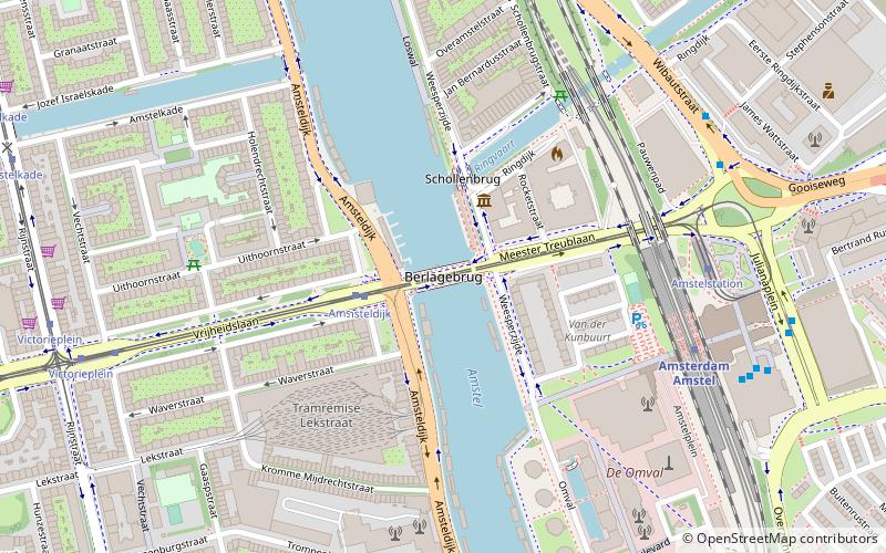
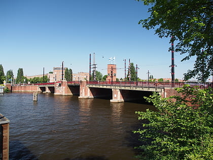
The Berlagebrug is a bascule bridge over the river Amstel in Amsterdam, Netherlands. The bridge was commissioned by the municipality and named after its main architect Hendrikus Petrus Berlage. It was constructed from 1926 to 1931 and officially opened on 28 May 1932. It has been designated as a Rijksmonument since 11 May 2008. ()
Address
Stadsdeel Oost (Frankendael)Amsterdam
ContactAdd
Social media
Add
Day trips
Berlagebrug – popular in the area (distance from the attraction)
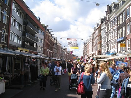
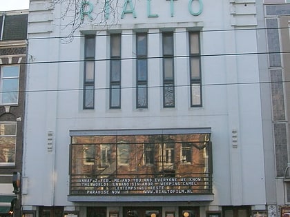
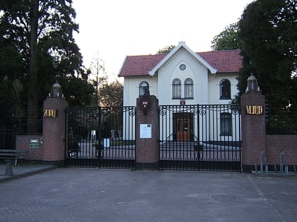
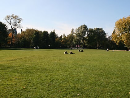
Nearby attractions include: Albert Cuyp Market, Rialto, Zorgvlied Cemetery, Oosterpark.
Frequently Asked Questions (FAQ)
Which popular attractions are close to Berlagebrug?
Nearby attractions include Omval, Amsterdam (9 min walk), Weesperzijde, Amsterdam (12 min walk), Rivierenbuurt, Amsterdam (12 min walk), Stadshaven Amstelkwartier, Amsterdam (12 min walk).
How to get to Berlagebrug by public transport?
The nearest stations to Berlagebrug:
Bus
Tram
Metro
Train
Bus
- Amsteldijk • Lines: 245, 62 (2 min walk)
- Prins Bernhardplein • Lines: N85, N86 (7 min walk)
Tram
- Amsteldijk • Lines: 12 (2 min walk)
- Amstelstation • Lines: 12 (6 min walk)
Metro
- Amstelstation • Lines: 51, 53, 54 (6 min walk)
- Wibautstraat • Lines: 51, 53, 54 (13 min walk)
Train
- Amsterdam RAI (31 min walk)
- Amsterdam Muiderpoort (31 min walk)
 Metro / Trams