Vijzelgracht, Amsterdam
Map
Facts and practical information
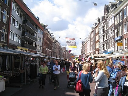
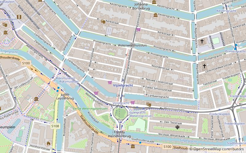
The Vijzelgracht is a street and former canal in Amsterdam. The Vijzelgracht is adjacent to the Grachtengordel and is an extension of one of the most important city radii for public transport and normal traffic. This through route leads via Vijzelstraat, Rokin, Dam Square and Damrak to Central Station. To the south of Vijzelgracht, the Nieuwe Vijzelstraat connects to Weteringschans. ()
Address
Stadsdeel Centrum (De Weteringschans)Amsterdam
ContactAdd
Social media
Add
Day trips
Vijzelgracht – popular in the area (distance from the attraction)
Nearby attractions include: Rijksmuseum, FOAM, Bloemenmarkt, Amsterdam City Archives.
Frequently Asked Questions (FAQ)
Which popular attractions are close to Vijzelgracht?
Nearby attractions include Deutzen Hofje, Amsterdam (4 min walk), Spiegelgracht, Amsterdam (5 min walk), Nieuwe Waalse Kerk, Amsterdam (6 min walk), Museum Van Loon, Amsterdam (6 min walk).
How to get to Vijzelgracht by public transport?
The nearest stations to Vijzelgracht:
Metro
Tram
Bus
Metro
- Vijzelgracht • Lines: 52 (1 min walk)
- De Pijp • Lines: 52 (13 min walk)
Tram
- Vijzelgracht • Lines: 1, 19, 24, 7 (3 min walk)
- Spiegelgracht • Lines: 1, 19, 7 (5 min walk)
Bus
- Ruysdaelkade • Lines: N84 (5 min walk)
- Ferdinand Bolstraat • Lines: N84 (6 min walk)
 Metro / Trams


