Amsterdam-Noord, Amsterdam
Map
Gallery
Facts and practical information
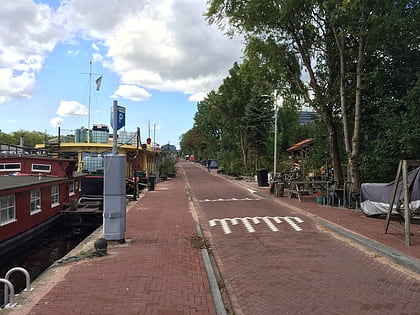
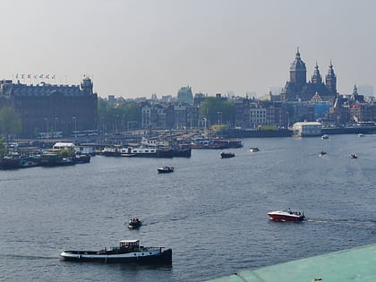
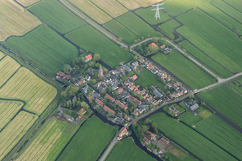
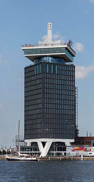
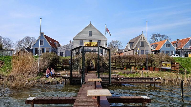
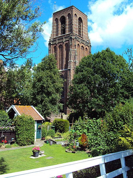
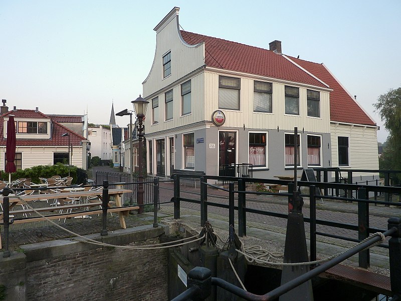
Amsterdam-Noord is a borough of Amsterdam, Netherlands with a population of about 90,000. The IJ, the body of water which separates it from Amsterdam-Centrum and the rest of the city, is situated southwest of Amsterdam-Noord. The borough, which has an area of 49.01 km2, borders the municipalities of Zaanstad, Oostzaan, Landsmeer and Waterland to the north, all part of the province of North Holland like Amsterdam. It borders the Markermeer to the east. ()
Day trips
Amsterdam-Noord – popular in the area (distance from the attraction)
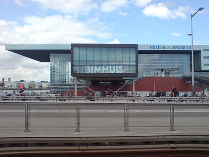
Nearby attractions include: NEMO Museum, Muziekgebouw aan 't IJ, Dijksgracht, Conservatorium van Amsterdam.
Frequently Asked Questions (FAQ)
Which popular attractions are close to Amsterdam-Noord?
Nearby attractions include Nieuwendammerdijk en Buiksloterdijk, Amsterdam (11 min walk), Floradorp, Amsterdam (15 min walk), Buiksloot, Amsterdam (15 min walk), Dansmakers Amsterdam, Amsterdam (16 min walk).
How to get to Amsterdam-Noord by public transport?
The nearest stations to Amsterdam-Noord:
Bus
Metro
Ferry
Tram
Train
Bus
- Noorderpark • Lines: 34, 35, N91, N93 (4 min walk)
- Mosplein • Lines: 34, 35, 391, 394, N93, N94 (7 min walk)
Metro
- Noorderpark • Lines: 52 (5 min walk)
- Noord • Lines: 52 (25 min walk)
Ferry
- Veer Zamenhofstraat • Lines: F1 (18 min walk)
- IJplein • Lines: F2 (20 min walk)
Tram
- Muziekgebouw • Lines: 26 (26 min walk)
- Kattenburgerstraat • Lines: 26 (27 min walk)
Train
- Amsterdam Central Station (29 min walk)



 Metro / Trams

