Amsterdam-Centrum, Amsterdam
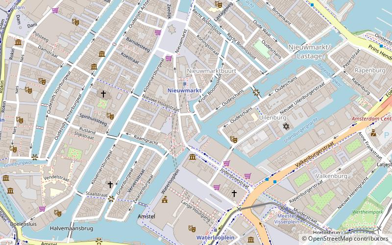
Map
Gallery
Facts and practical information
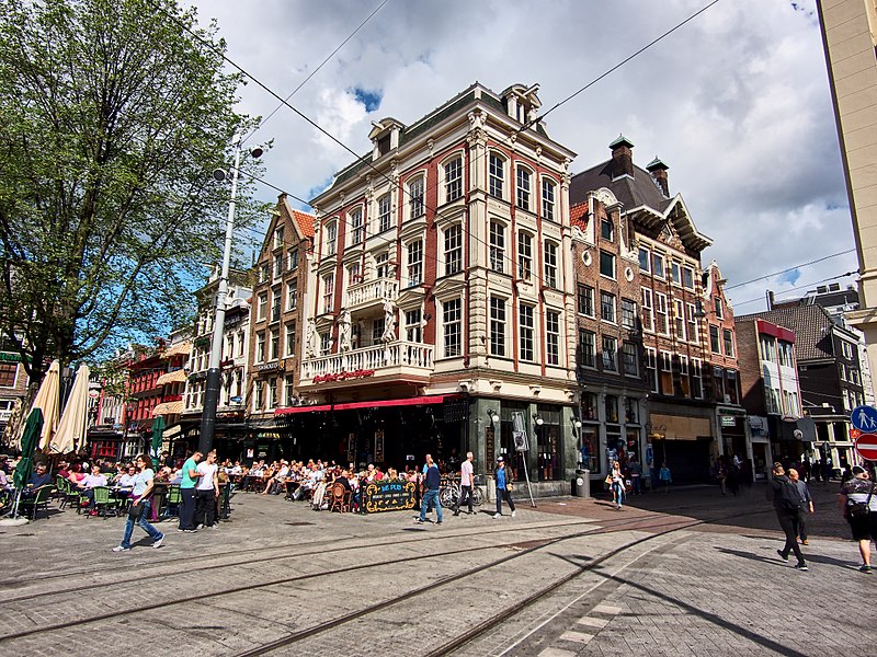
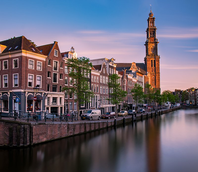
Amsterdam-Centrum is the inner-most borough and historical city centre of Amsterdam, Netherlands containing the majority of the city's landmarks. Established in 2002, Amsterdam-Centrum was the last area in the city to be granted the status of self-governing borough. The borough is only 8.04 km2 large and covers the old innercity and the UNESCO-listed Amsterdam canal belt. In 2013, the borough had approximately 85,000 inhabitants, who on average had the second-highest income per household in the city and one of the highest in the country. ()
Day trips
Amsterdam-Centrum – popular in the area (distance from the attraction)
Nearby attractions include: Rembrandt House, Hash, Raamgracht, Zuiderkerk.
Frequently Asked Questions (FAQ)
Which popular attractions are close to Amsterdam-Centrum?
Nearby attractions include Kloveniersburgwal, Amsterdam (1 min walk), Raamgracht, Amsterdam (2 min walk), Oost-Indisch Huis, Amsterdam (2 min walk), Upstream Gallery Amsterdam, Amsterdam (2 min walk).
How to get to Amsterdam-Centrum by public transport?
The nearest stations to Amsterdam-Centrum:
Metro
Tram
Bus
Train
Ferry
Metro
- Nieuwmarkt • Lines: 51, 53, 54 (5 min walk)
- Rokin • Lines: 52 (6 min walk)
Tram
- Rokin • Lines: 14, 24, 4 (7 min walk)
- Waterlooplein • Lines: 14 (7 min walk)
Bus
- Rokin • Lines: N85, N87, N89, N91 (7 min walk)
- Waterlooplein • Lines: N87 (7 min walk)
Train
- Amsterdam Central Station (16 min walk)
Ferry
- Centraal Station • Lines: F2 (18 min walk)
- IJplein • Lines: F2 (24 min walk)



 Metro / Trams

