Spoorwijk, The Hague
Map
Facts and practical information
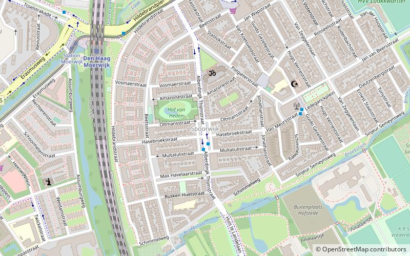
Spoorwijk is a residential neighbourhood in the Laak district of The Hague, Netherlands. Its name, literally rail neighbourhood or track neighbourhood, originated from the fact that the area borders the Amsterdam–Haarlem–Rotterdam railway on the west. The neighbourhood has 4,161 inhabitants and covers an area of 33,3 ha. ()
Address
Laakkwartier en Spoorwijk (Spoorwijk)The Hague
ContactAdd
Social media
Add
Getting there by public transportation
Public transportation stops near this location
- Bus
- Tram
- Train
 Bus
Bus
- Calculate routeAlberdingk Thijmstraat 1 min walk
- Calculate routeLedeganckplein 5 min walk
- Calculate routeGoeverneurplein 7 min walk
- Calculate routeStation Moerwijk 7 min walk
- Calculate routeDen Haag Moerwijk 7 min walk
- Calculate routeRijswijk 29 min walk
- Calculate routeDen Haag HS 32 min walk
- Calculate routeStation Moerwijk 8 min walk
- Calculate routeVan Zeggelenlaan 8 min walk
- Calculate routeHeeswijkplein 11 min walk
- Calculate routeDynamostraat 14 min walk
Day trips


Frequently Asked Questions (FAQ)
Which popular attractions are close to Spoorwijk?
Nearby attractions include Needle of Rijswijk, The Hague (17 min walk), Haags Openbaar Vervoer Museum, The Hague (18 min walk), Rijswijk, The Hague (22 min walk).
How to get to Spoorwijk by public transport?
The nearest stations to Spoorwijk:
Bus
Train
Tram
Bus
- Alberdingk Thijmstraat • Lines: 22, 29 (1 min walk)
- Ledeganckplein • Lines: 22, 29 (5 min walk)
Train
- Den Haag Moerwijk (7 min walk)
- Rijswijk (29 min walk)
Tram
- Station Moerwijk • Lines: 16 (8 min walk)
- Van Zeggelenlaan • Lines: 16 (8 min walk)