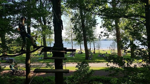
Terbregge, Rotterdam
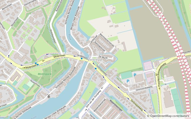
Map
Facts and practical information
Terbregge is a neighborhood of Rotterdam, Netherlands. ()
Coordinates: 51°57'20"N, 4°31'10"E
Address
Hillegersberg-Schiebroek (Terbregge)Rotterdam
ContactAdd
Social media
Add
Getting there by public transportation
Public transportation stops near this location
- Metro
- Bus
- Tram
 Metro
Metro
- Calculate routePrinses Irenebrug 1 min walk
- Calculate routeMolenhoek 6 min walk
- Calculate routeNico van der Valkweg 8 min walk
- Calculate routeTerbregseweg 10 min walk
- Calculate routeBurg. Van Kempensingel 19 min walk
- Calculate routeDe Montignyplein 21 min walk
- Calculate routeLiduinaplein 26 min walk
- Calculate routeBergse Dorpsstraat 28 min walk
- Calculate routeBinnenhof 20 min walk
- Calculate routeRomeynshof 28 min walk
Day trips


Frequently Asked Questions (FAQ)
Which popular attractions are close to Terbregge?
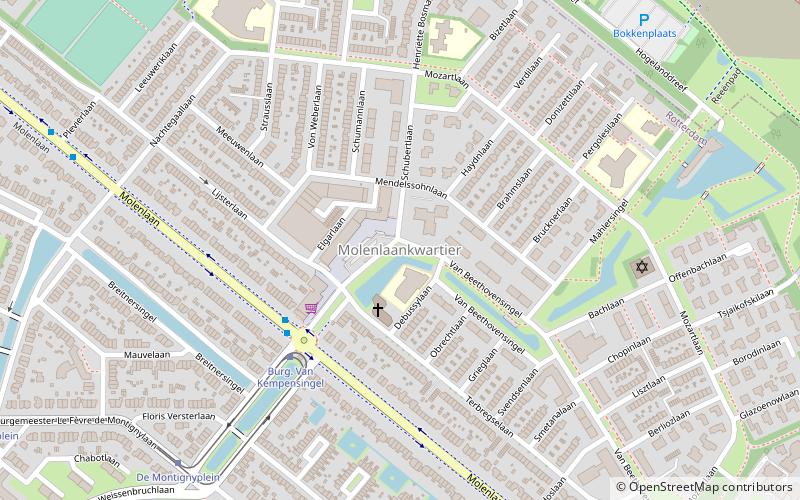
Nearby attractions include De Vier Winden, Rotterdam (6 min walk), Varenbuurt, Rotterdam (12 min walk), Boterdorpse Verlaat, Rotterdam (15 min walk), Molenlaankwartier, Rotterdam (18 min walk).
How to get to Terbregge by public transport?
The nearest stations to Terbregge:
Bus
Tram
Metro
Bus
- Prinses Irenebrug • Lines: 35 (1 min walk)
- Molenhoek • Lines: 35 (6 min walk)
Tram
- Burg. Van Kempensingel • Lines: 4 (19 min walk)
- De Montignyplein • Lines: 4 (21 min walk)
Metro
- Binnenhof • Lines: A (20 min walk)
- Romeynshof • Lines: A (28 min walk)