Omval, Amsterdam
Map
Gallery
Facts and practical information
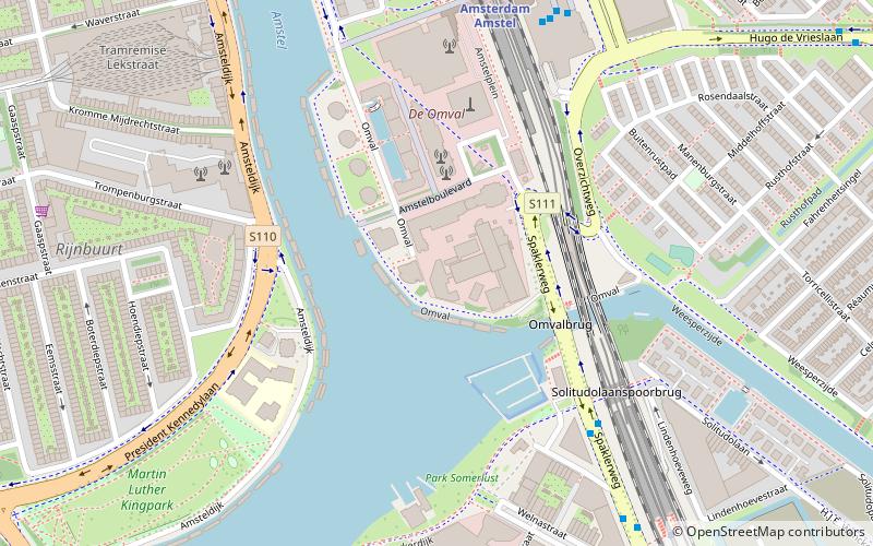
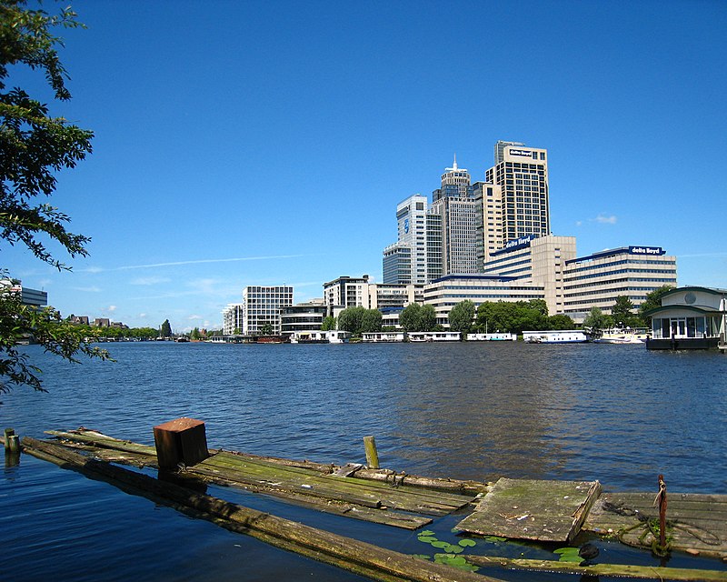
Omval is a neighbourhood situated on a peninsula on the eastern shore of the Amstel river in Amsterdam, Netherlands. It is situated south of the Weesperzijde neighbourhood and next to the Amsterdam Amstel railway station in the borough of Amsterdam-Oost. In the 1990s, it became the site of a major business district featuring the Rembrandt Tower, the tallest skyscraper in Amsterdam. ()
Address
Stadsdeel Zuid (Rijnbuurt)Amsterdam
ContactAdd
Social media
Add
Day trips
Omval – popular in the area (distance from the attraction)
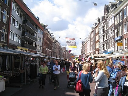
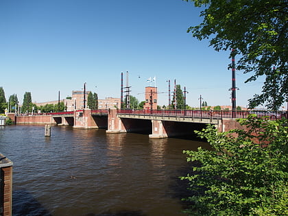
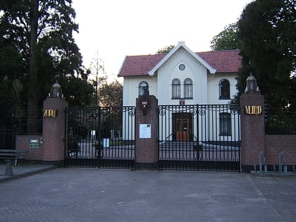
Nearby attractions include: Albert Cuyp Market, Berlagebrug, Rialto, Zorgvlied Cemetery.
Frequently Asked Questions (FAQ)
Which popular attractions are close to Omval?
Nearby attractions include Stadshaven Amstelkwartier, Amsterdam (3 min walk), Berlagebrug, Amsterdam (9 min walk), Amsteldorp, Amsterdam (11 min walk), Zomerdijkstraat, Amsterdam (14 min walk).
How to get to Omval by public transport?
The nearest stations to Omval:
Bus
Metro
Tram
Train
Bus
- H.J.E. Wenckebachweg • Lines: N85 (5 min walk)
- Amstelstation • Lines: 240, 245, 322, 327, 37, 40, 62, N22, N85 (7 min walk)
Metro
- Amstelstation • Lines: 51, 53, 54 (7 min walk)
- Spaklerweg • Lines: 51, 53, 54 (8 min walk)
Tram
- Amstelstation • Lines: 12 (8 min walk)
- Amsteldijk • Lines: 12 (10 min walk)
Train
- Amsterdam RAI (31 min walk)
- Amsteltrein (33 min walk)

 Metro / Trams