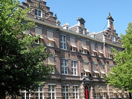
Plantage Muidergracht, Amsterdam
Map
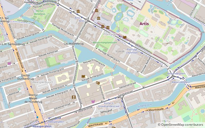
Map

Facts and practical information
The Plantage Muidergracht is a canal and street in the Plantage neighborhood of Amsterdam. On and along the Plantage Muidergracht, near Roeterseiland, are some of the buildings of the University of Amsterdam, originally built for courses or subfaculties of physics, chemistry, biology, environmental science and mathematics, but now used by other faculties. ()
Address
Stadsdeel Centrum (Weesperbuurt en Plantage)Amsterdam
ContactAdd
Social media
Add
Day trips
Plantage Muidergracht – popular in the area (distance from the attraction)
Nearby attractions include: Hermitage Amsterdam, Tropenmuseum, Artis, Hortus Botanicus.
Frequently Asked Questions (FAQ)
Which popular attractions are close to Plantage Muidergracht?
Nearby attractions include Artis Library, Amsterdam (4 min walk), Sarphatistraat, Amsterdam (4 min walk), Plantage, Amsterdam (5 min walk), Nieuwe Achtergracht, Amsterdam (5 min walk).
How to get to Plantage Muidergracht by public transport?
The nearest stations to Plantage Muidergracht:
Bus
Tram
Metro
Train
Ferry
Bus
- Plantage Lepellaan • Lines: N87 (4 min walk)
- Artis • Lines: N87 (5 min walk)
Tram
- Plantage Lepellaan • Lines: 14 (4 min walk)
- Korte 's-Gravesandestraat • Lines: 1, 19, 7 (4 min walk)
Metro
- Weesperplein • Lines: 51, 53, 54 (8 min walk)
- Waterlooplein • Lines: 51, 53, 54 (11 min walk)
Train
- Amsterdam Muiderpoort (21 min walk)
- Amsterdam Central Station (30 min walk)
Ferry
- Centraal Station • Lines: F2 (28 min walk)
 Metro / Trams


