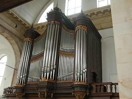
Plantage, Amsterdam
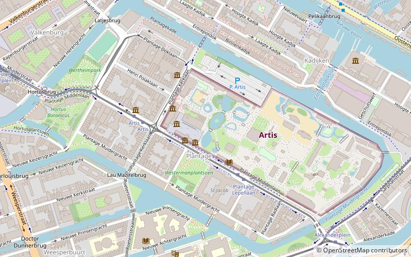
Map
Gallery
Facts and practical information
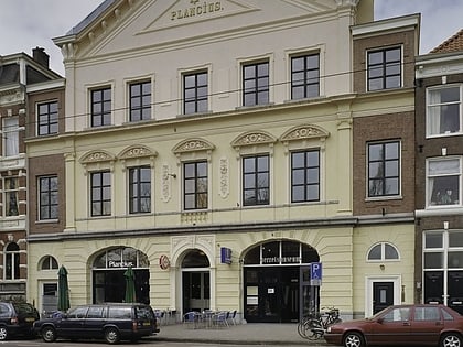
Plantage is a neighbourhood of Amsterdam, Netherlands located in its Centrum borough. It is bordered by the Entrepotdok to the north, Plantage Muidergracht to the east and south and Nieuwe Herengracht to the west. In the centre of the neighbourhood lies the Natura Artis Magistra zoo. It had a population of 1,980 in 2017. ()
Address
Stadsdeel Centrum (Weesperbuurt en Plantage)Amsterdam
ContactAdd
Social media
Add
Day trips
Plantage – popular in the area (distance from the attraction)
Nearby attractions include: National Maritime Museum, Tropenmuseum, Artis, Hortus Botanicus.
Frequently Asked Questions (FAQ)
Which popular attractions are close to Plantage?
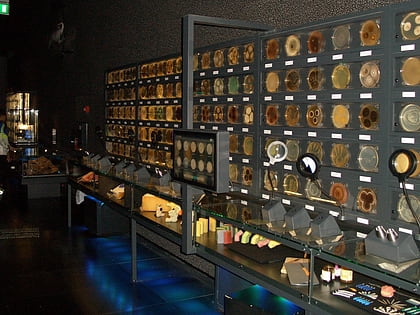
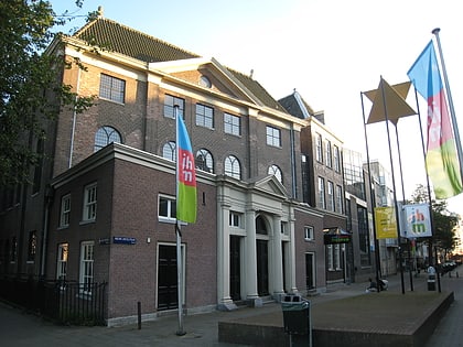
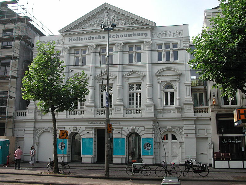
Nearby attractions include Micropia Museum, Amsterdam (2 min walk), Artis Library, Amsterdam (2 min walk), Verzetsmuseum, Amsterdam (3 min walk), Hollandsche Schouwburg, Amsterdam (3 min walk).
How to get to Plantage by public transport?
The nearest stations to Plantage:
Bus
Tram
Metro
Train
Ferry
Bus
- Plantage Lepellaan • Lines: N87 (3 min walk)
- Artis • Lines: N87 (4 min walk)
Tram
- Plantage Lepellaan • Lines: 14 (3 min walk)
- Artis • Lines: 14 (4 min walk)
Metro
- Waterlooplein • Lines: 51, 53, 54 (12 min walk)
- Weesperplein • Lines: 51, 53, 54 (12 min walk)
Train
- Amsterdam Muiderpoort (21 min walk)
- Amsterdam Central Station (27 min walk)
Ferry
- Centraal Station • Lines: F2 (25 min walk)
- IJplein • Lines: F2 (28 min walk)

 Metro / Trams


