Amsteldorp, Amsterdam

Gallery (1)
Map
Map
Facts and practical information
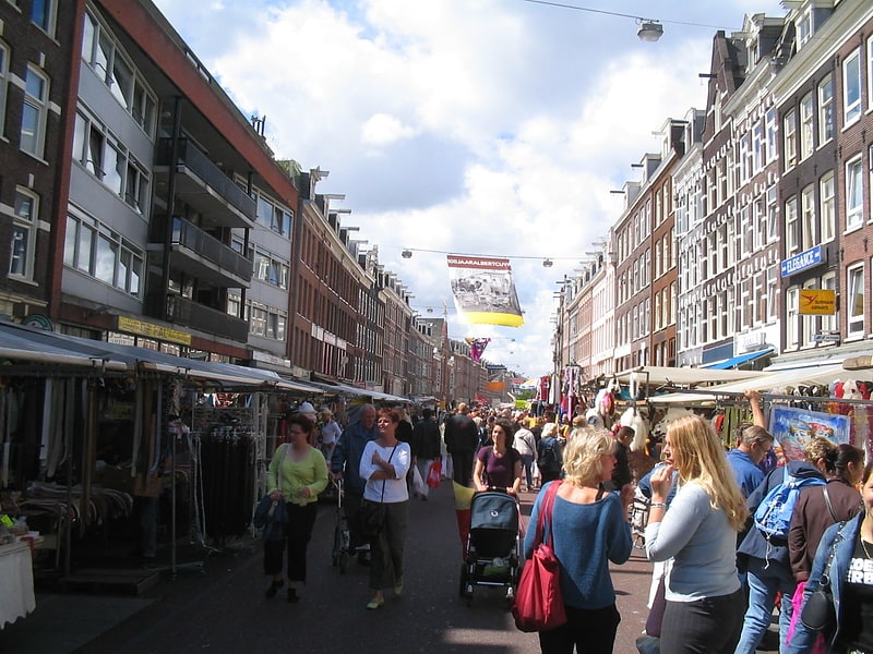
Amsteldorp is a neighborhood of Amsterdam, Netherlands. The neighborhood dates from the 1920s but many houses were built in 1947-48 and in the 1950s. The Amstel Station is located within this area, which was built in 1939, and the tallest building in the neighbourhood is Rembrandt Tower, with a height of 150 metres. ()
Address
Stadsdeel Oost (Frankendael)Amsterdam
ContactAdd
Social media
Add
Getting there by public transportation
Public transportation stops near this location
- Metro
- Bus
- Tram
- Train
 Metro
Metro
- Calculate routeFizeaustraat 5 min walk
- Calculate routeLorentzlaan 8 min walk
- Calculate routeH.J.E. Wenckebachweg 9 min walk
- Calculate routeMaxwellstraat 9 min walk
- Calculate routeSpaklerweg 9 min walk
- Calculate routeAmstelstation 11 min walk
- Calculate routeOveramstel 23 min walk
- Calculate routeAmstelstation 12 min walk
- Calculate routeHugo de Vrieslaan 17 min walk
- Calculate routeKruislaan 18 min walk
- Calculate routeAmsteldijk 18 min walk
- Calculate routeAmsterdam Science Park 30 min walk
Maps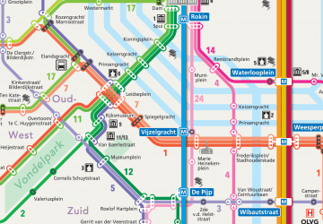 Metro / Trams
Metro / TramsDay trips


Frequently Asked Questions (FAQ)
Which popular attractions are close to Amsteldorp?
Nearby attractions include Stadshaven Amstelkwartier, Amsterdam (10 min walk), Omval, Amsterdam (11 min walk), Museum tot zover, Amsterdam (15 min walk), Berlagebrug, Amsterdam (16 min walk).
How to get to Amsteldorp by public transport?
The nearest stations to Amsteldorp:
Bus
Metro
Tram
Train
Bus
- Fizeaustraat • Lines: 245, 37, 40, 65 (5 min walk)
- Lorentzlaan • Lines: 40 (8 min walk)
Metro
- Spaklerweg • Lines: 51, 53, 54 (9 min walk)
- Amstelstation • Lines: 51, 53, 54 (11 min walk)
Tram
- Amstelstation • Lines: 12 (12 min walk)
- Hugo de Vrieslaan • Lines: 19 (17 min walk)
Train
- Amsterdam Science Park (30 min walk)