Oud-Oost, Amsterdam
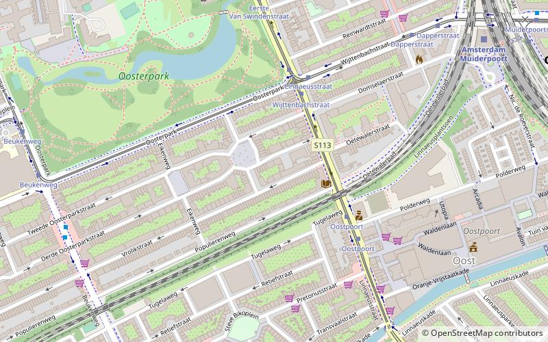
Map
Facts and practical information
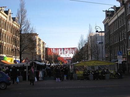
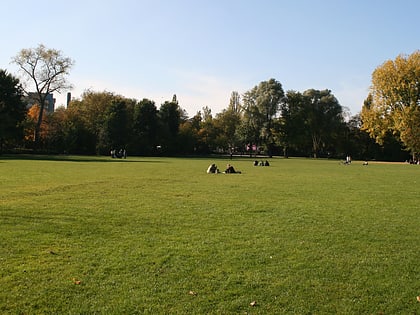
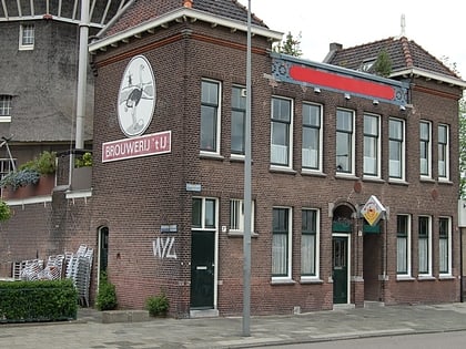
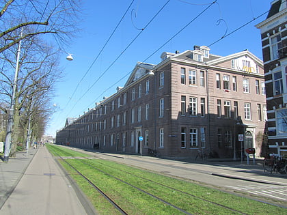
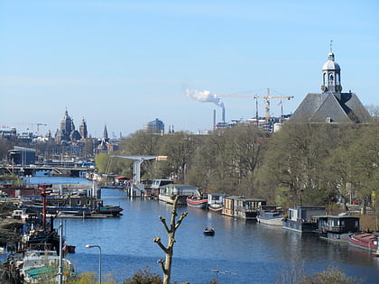
Oud-Oost is an officially designated area of the borough of Amsterdam-Oost in Amsterdam, Netherlands. It consists of the areas closer to the city center, traditionally known as Amsterdam East, before the borough was expanded. ()
Address
Stadsdeel Oost (Oosterparkbuurt)Amsterdam
ContactAdd
Social media
Add
Day trips
Oud-Oost – popular in the area (distance from the attraction)
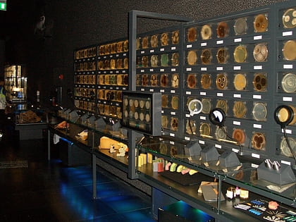
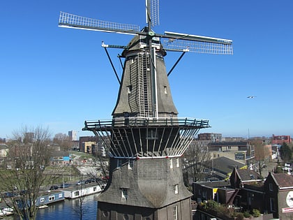
Nearby attractions include: Tropenmuseum, Artis, Entrepotdok, Micropia Museum.
Frequently Asked Questions (FAQ)
Which popular attractions are close to Oud-Oost?
Nearby attractions include Theo van Gogh, Amsterdam (4 min walk), Oosterpark, Amsterdam (6 min walk), Oosterparkbuurt, Amsterdam (8 min walk), Dapperbuurt, Amsterdam (8 min walk).
How to get to Oud-Oost by public transport?
The nearest stations to Oud-Oost:
Bus
Tram
Train
Metro
Bus
- Linnaeusstraat • Lines: 245, 37, 41 (4 min walk)
- Wijttenbachstraat • Lines: 41, N87 (4 min walk)
Tram
- Wijttenbachstraat • Lines: 19 (4 min walk)
- Linnaeusstraat • Lines: 1, 3 (4 min walk)
Train
- Amsterdam Muiderpoort (9 min walk)
- Amsterdam Science Park (28 min walk)
Metro
- Wibautstraat • Lines: 51, 53, 54 (16 min walk)
- Weesperplein • Lines: 51, 53, 54 (19 min walk)
 Metro / Trams


