Bloemgracht, Amsterdam
Map
Gallery
Facts and practical information
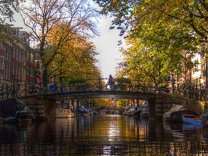
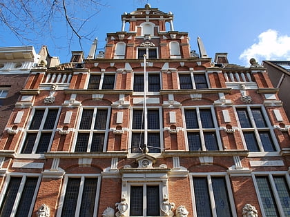
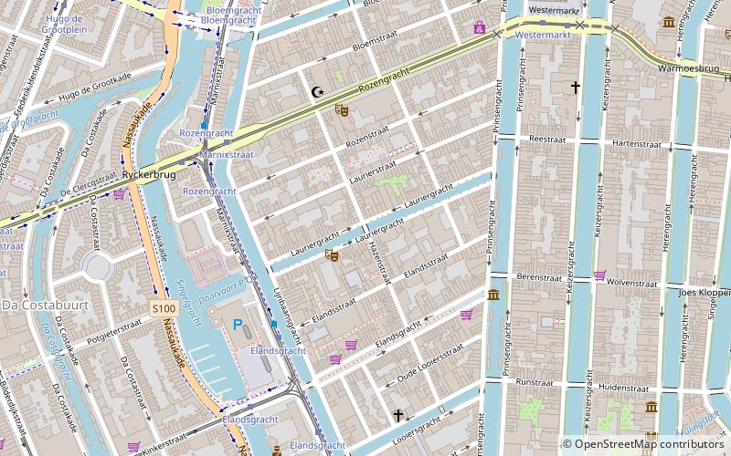
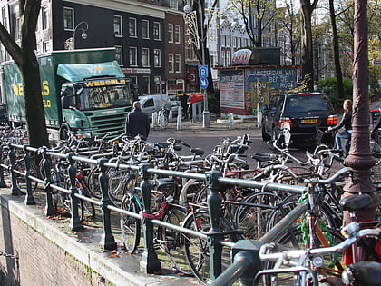
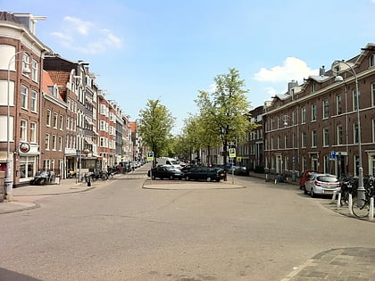
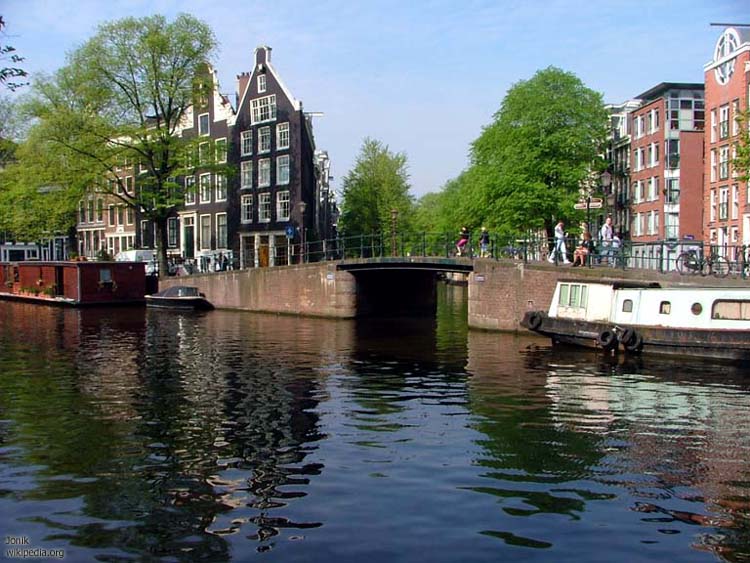
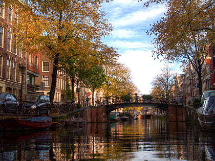
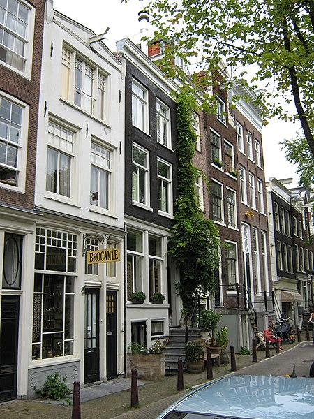
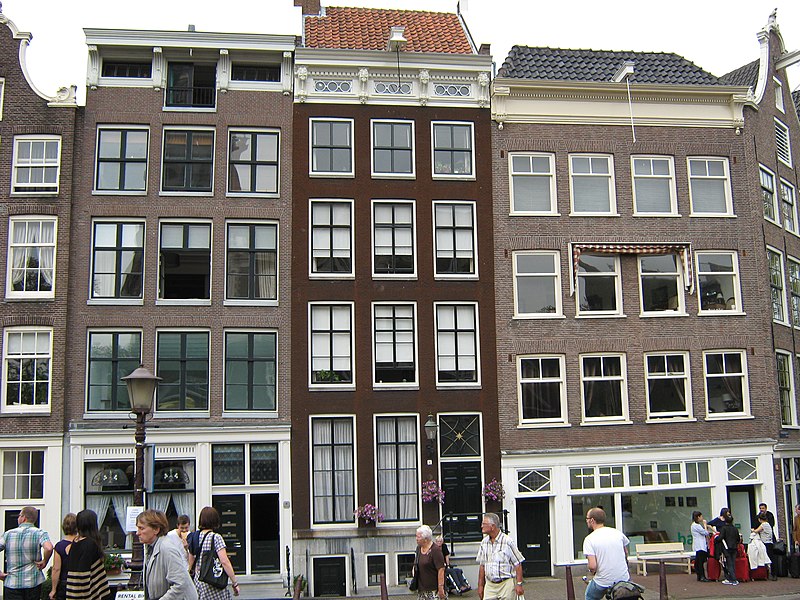
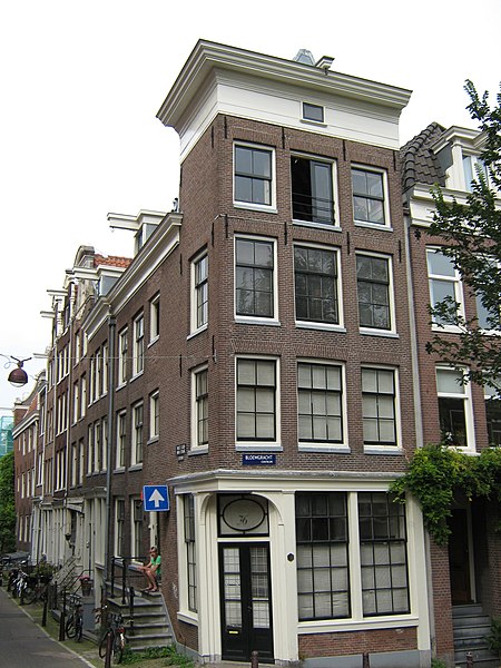
The Bloemgracht is a canal in the Jordaan district of Amsterdam, the Netherlands. It connects the Prinsengracht with the Lijnbaansgracht and runs between and parallel to Nieuwe Leliestraat and Bloemstraat in the Amsterdam-Centrum district. The canal is named after the bulwark "de Bloem", later called "Rijkeroord". From 1614 a windmill was located here, but it was moved to Haarlemmerweg in 1878. ()
Address
Stadsdeel Centrum (Jordaan)Amsterdam
ContactAdd
Social media
Add
Day trips
Bloemgracht – popular in the area (distance from the attraction)
Nearby attractions include: Anne Frank House, Leliegracht, Westerkerk, Egelantiersgracht.
Frequently Asked Questions (FAQ)
Which popular attractions are close to Bloemgracht?
Nearby attractions include Electric Ladyland Museum, Amsterdam (2 min walk), Bibliotheca Philosophica Hermetica, Amsterdam (3 min walk), Egelantiersgracht, Amsterdam (3 min walk), Rozengracht, Amsterdam (4 min walk).
How to get to Bloemgracht by public transport?
The nearest stations to Bloemgracht:
Bus
Tram
Metro
Train
Ferry
Bus
- Westermarkt • Lines: N82, N83, N84, N94 (5 min walk)
- Bloemgracht • Lines: N88 (5 min walk)
Tram
- Bloemgracht • Lines: 5 (5 min walk)
- Westermarkt • Lines: 13, 17 (5 min walk)
Metro
- Rokin • Lines: 52 (16 min walk)
- Nieuwmarkt • Lines: 51, 53, 54 (24 min walk)
Train
- Amsterdam Central Station (24 min walk)
Ferry
- Centraal Station • Lines: F2 (27 min walk)


 Metro / Trams


