Lastage, Amsterdam
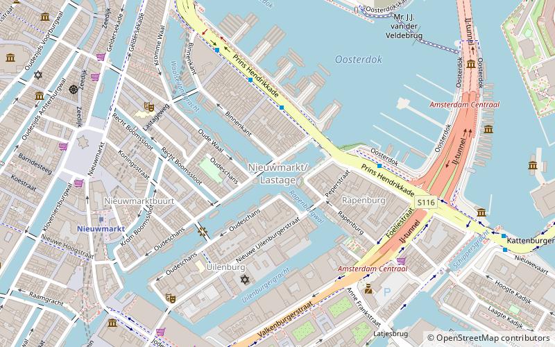
Map
Facts and practical information
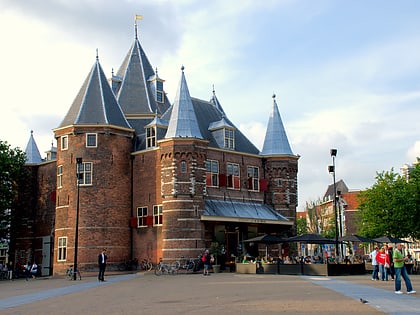
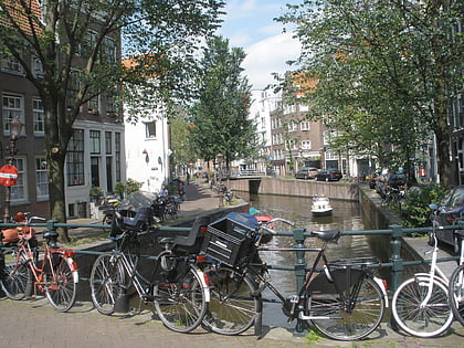
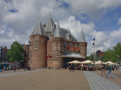
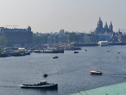
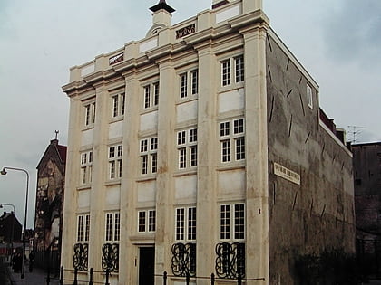
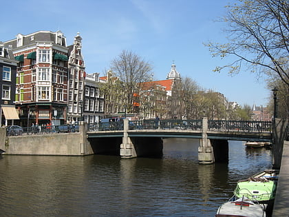
Lastage is a neighborhood in the Centrum borough of Amsterdam, Netherlands. It is located between the Geldersekade and Oudeschans canals, just east of old medieval city. Today, the neighbourhood is also known as Nieuwmarktbuurt due to the fact that the Nieuwmarkt is comprised in the area; it is protected as a heritage site. ()
Address
Stadsdeel Centrum (Nieuwmarkt en Lastage)Amsterdam
ContactAdd
Social media
Add
Day trips
Lastage – popular in the area (distance from the attraction)
Nearby attractions include: NEMO Museum, Oudeschans, Rechtboomssloot, Waag.
Frequently Asked Questions (FAQ)
Which popular attractions are close to Lastage?
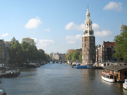
Nearby attractions include Montelbaanstoren, Amsterdam (1 min walk), Rapenburgwal, Amsterdam (2 min walk), Oudeschans, Amsterdam (2 min walk), De Appel, Amsterdam (3 min walk).
How to get to Lastage by public transport?
The nearest stations to Lastage:
Bus
Metro
Tram
Ferry
Train
Bus
- Prins Hendrikkade • Lines: 22, 305, 306, 314, 316, 391, 394, 43, N01, N04, N14, N92, N94 (5 min walk)
- IJ tunnel • Lines: 305, 306, 314, 316, 391, 394, N91, N93 (4 min walk)
Metro
- Nieuwmarkt • Lines: 51, 53, 54 (6 min walk)
- Waterlooplein • Lines: 51, 53, 54 (11 min walk)
Tram
- Meester Visserplein • Lines: 14 (8 min walk)
- Waterlooplein • Lines: 14 (11 min walk)
Ferry
- Centraal Station • Lines: F2 (13 min walk)
- IJplein • Lines: F2 (17 min walk)
Train
- Amsterdam Central Station (14 min walk)
- Amsterdam Muiderpoort (34 min walk)
 Metro / Trams


