Admiralenbuurt, Amsterdam

Gallery (1)
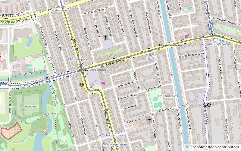
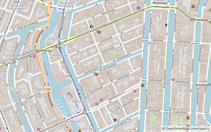
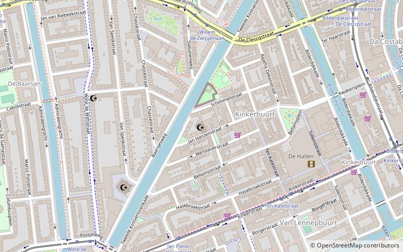
Map
Map
Facts and practical information
Admiralenbuurt or Mecatorbuurt is a neighbourhood of the West borough of Amsterdam, Netherlands. It was constructed in the 1920s. The neighbourhood is bisected by the Admiralengracht. From 1990-2010, it was part of the borough of De Baarsjes; in 2010, it became part of the borough of Amsterdam-West along with the rest of De Baarsjes. ()
Address
Stadsdeel West (Hoofdweg)Amsterdam
ContactAdd
Social media
Add
Getting there by public transportation
Public transportation stops near this location
- Metro
- Bus
- Tram
 Metro
Metro
- Calculate routeMercatorplein 3 min walk
- Calculate routeMarco Polostraat 4 min walk
- Calculate routeW. Schoutenstraat 5 min walk
- Calculate routeJan van Galenstraat 8 min walk
- Calculate routeMercatorplein 3 min walk
- Calculate routeMarco Polostraat 4 min walk
- Calculate routeW. Schoutenweg 5 min walk
- Calculate routeJan van Galenstraat 20 min walk
- Calculate routePostjesweg 23 min walk
- Calculate routeDe Vlugtlaan 24 min walk
- Calculate routeLelylaan 29 min walk
Maps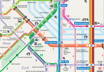 Metro / Trams
Metro / TramsDay trips


Frequently Asked Questions (FAQ)
Which popular attractions are close to Admiralenbuurt?
Nearby attractions include Chassébuurt, Amsterdam (8 min walk), Trompbuurt, Amsterdam (9 min walk), Westermoskee, Amsterdam (11 min walk), El Tawheed Mosque, Amsterdam (13 min walk).
How to get to Admiralenbuurt by public transport?
The nearest stations to Admiralenbuurt:
Tram
Bus
Metro
Tram
- Mercatorplein • Lines: 13, 7 (3 min walk)
- Marco Polostraat • Lines: 13 (4 min walk)
Bus
- Mercatorplein • Lines: 15, 18, 247, N82 (3 min walk)
- Marco Polostraat • Lines: 18, 247 (4 min walk)
Metro
- Jan van Galenstraat • Lines: 50, 51 (20 min walk)
- Postjesweg • Lines: 50, 51 (23 min walk)