Rottumeroog
Map

Map

Facts and practical information
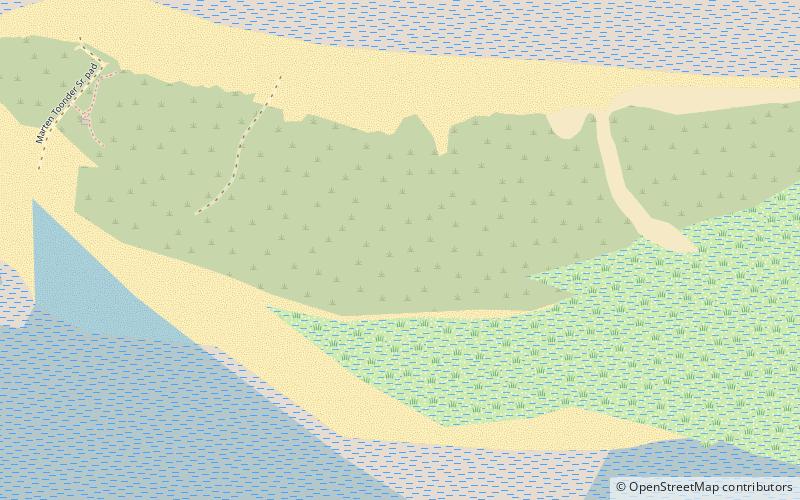
Rottumeroog is an uninhabited island in the Wadden Sea and is part of the Netherlands. The island is one of three West Frisian Islands in the province of Groningen. It is situated between the islands of Rottumerplaat and Borkum. ()
Alternative names: Area: 1.02 mi²Maximum elevation: 39 ftArchipelago: Frisian IslandsCoordinates: 53°32'21"N, 6°34'55"E
Location
Groningen
ContactAdd
Social media
Add
Day trips
Rottumeroog – popular in the area (distance from the attraction)
Nearby attractions include: Rottumerplaat, Zuiderduintjes.


