Rottumerplaat
Map

Map

Facts and practical information
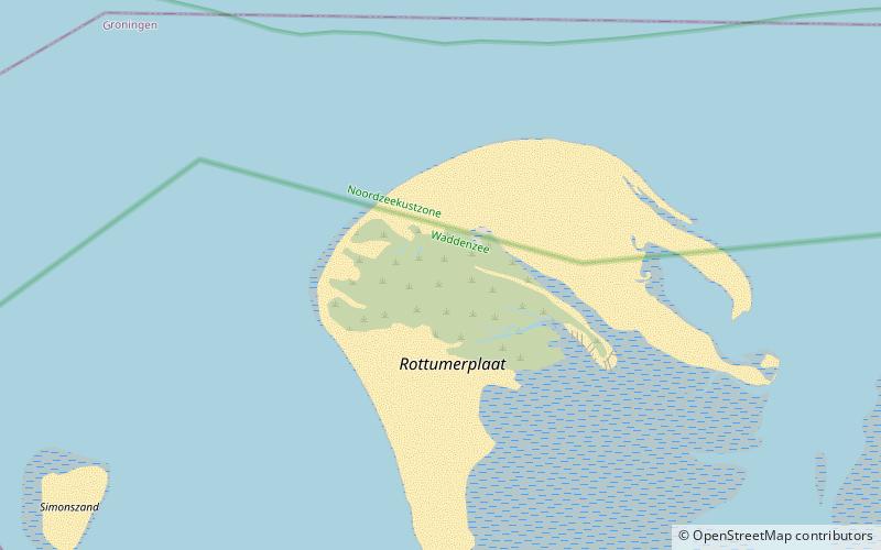
Rottumerplaat is one of the three islands that make up Rottum in the West Frisian Islands. The island is located in the North Sea off the Dutch coast. It is situated between the islands of Simonszand and Rottumeroog. Rottumerplaat started as a shoal in the 1830. It continued to grow into an island after 1950, when a stuifdijk, a wind-blown dike, was constructed by Rijkswaterstaat, because there were plans to use Rottumerplaat as a work island for the reclamation of the Wadden Sea. ()
Location
Groningen
ContactAdd
Social media
Add
Day trips
Rottumerplaat – popular in the area (distance from the attraction)
Nearby attractions include: Rottumeroog, Zuiderduintjes, Simonszand.


