Silberhorn, Westland National Park
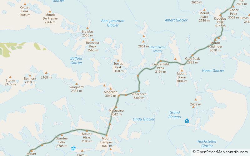
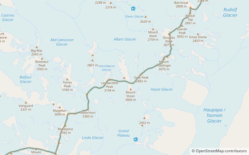
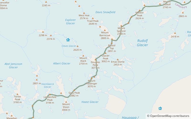
Map
Facts and practical information
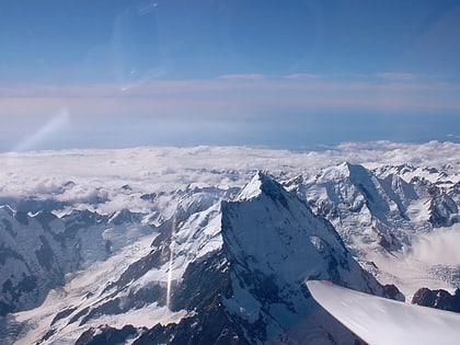
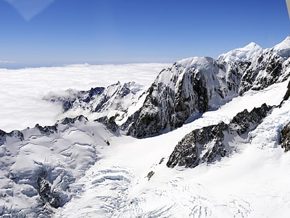
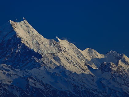
Silberhorn is the fifth highest peak in New Zealand, rising to 3,300 metres. It is located in the Southern Alps on the south ridge of Mount Tasman. Its name, "silver horn" in German, was probably given by William Spotswood Green in 1882 after its resemblance to Silberhorn in the Swiss Alps. Its Māori name, Rangirua, literally translates to 'second sky'. The first ascent of Silberhorn was in 1895 by Edward FitzGerald and his guide Matthias Zurbriggen. ()
Alternative names: First ascent: 1895Elevation: 10827 ftProminence: 115 ftCoordinates: 43°34'0"S, 170°8'60"E
Address
Westland National Park
ContactAdd
Social media
Add
Day trips
Silberhorn – popular in the area (distance from the attraction)
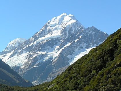
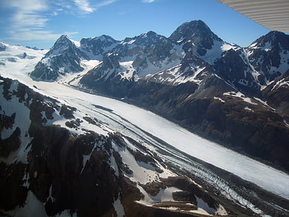
Nearby attractions include: Aoraki / Mount Cook, Southern Alps, Mount Haast, Mount Vancouver.
