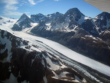
Mount Tasman, Westland National Park
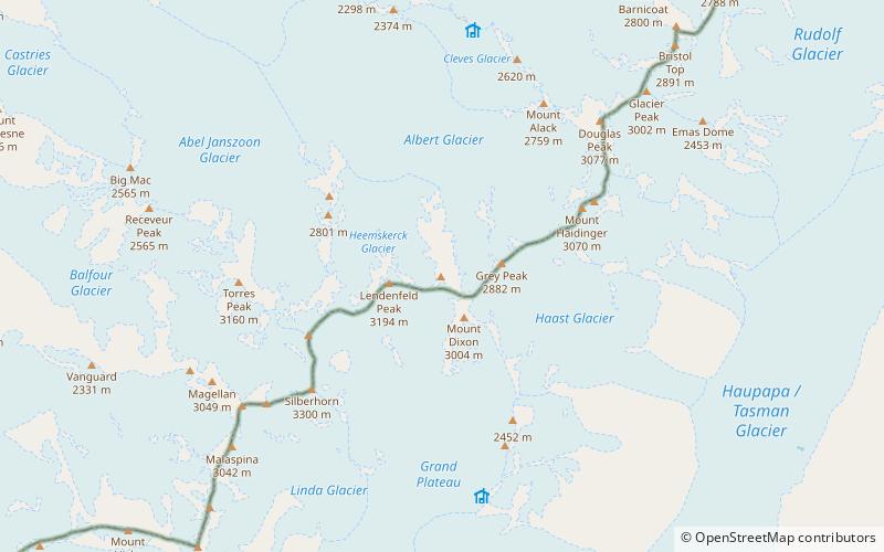
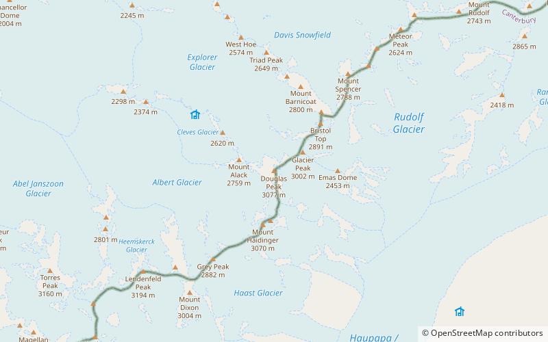
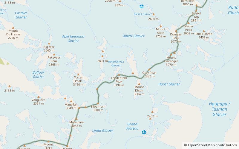
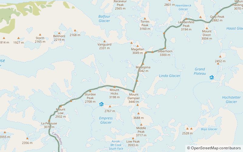
Map
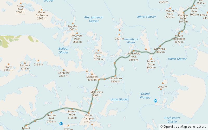
Map

Facts and practical information
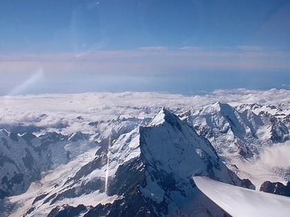
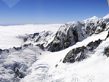
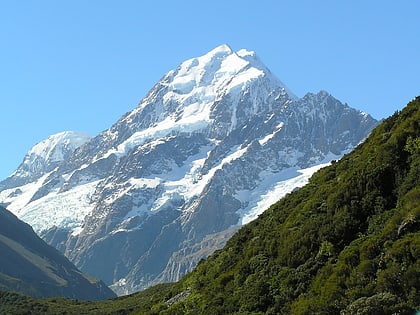
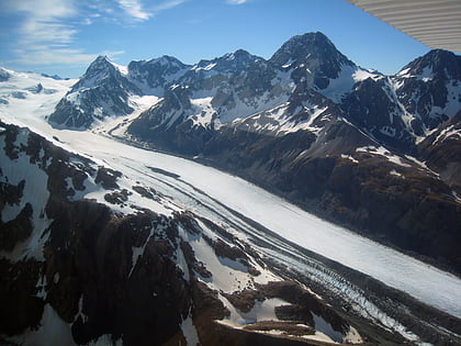
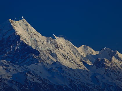
Mount Tasman is New Zealand's second highest mountain, rising to a height of 3,497 metres. It is located in the Southern Alps of the South Island, four kilometres to the north of its larger neighbour, Aoraki / Mount Cook. Unlike Aoraki / Mount Cook, Mount Tasman sits on the South Island's Main Divide, on the border between Aoraki / Mount Cook National Park and Westland Tai Poutini National Park. It is the highest point in Westland District. ()
Alternative names: First ascent: 1895Elevation: 11473 ftProminence: 1703 ftCoordinates: 43°34'0"S, 170°8'60"E
Address
Westland National Park
ContactAdd
Social media
Add
Day trips
Mount Tasman – popular in the area (distance from the attraction)
Nearby attractions include: Aoraki / Mount Cook, Southern Alps, Mount Haast, Mount Vancouver.

