Otago Peninsula, Dunedin
Map
Gallery
Facts and practical information
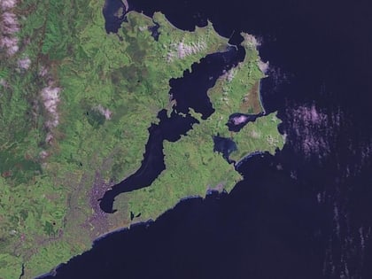
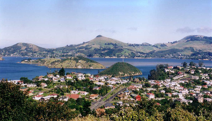
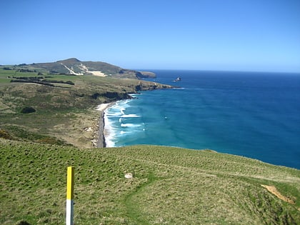
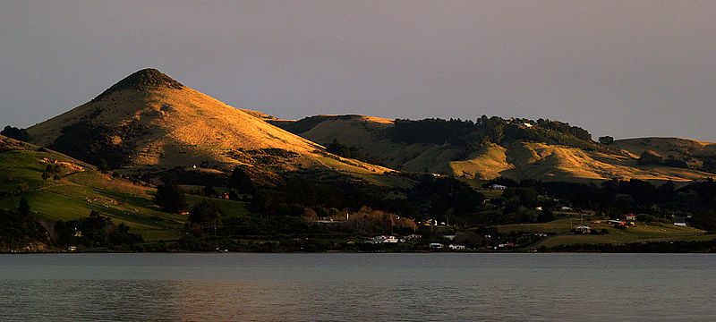
The Otago Peninsula is a long, hilly indented finger of land that forms the easternmost part of Dunedin, New Zealand. Volcanic in origin, it forms one wall of the eroded valley that now forms Otago Harbour. The peninsula lies south-east of Otago Harbour and runs parallel to the mainland for 20 km, with a maximum width of 9 km. It is joined to the mainland at the south-west end by a narrow isthmus about 1.5 km wide. ()
Address
Dunedin
ContactAdd
Social media
Add
Day trips
Otago Peninsula – popular in the area (distance from the attraction)
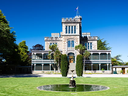
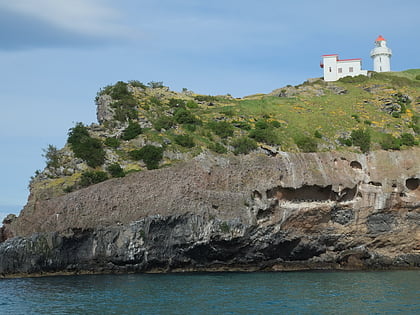
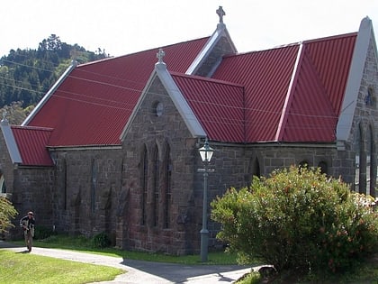
Nearby attractions include: Larnach Castle, Taiaroa Head, Mount Cargill, Holy Trinity Church.
