Lobster loos, Wellington
Map

Map

Facts and practical information
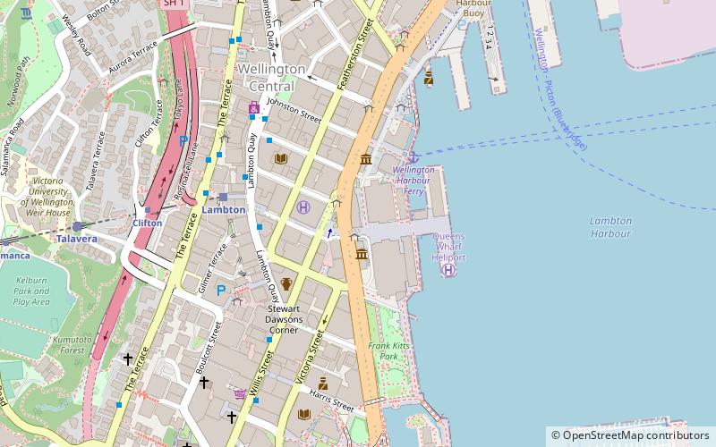
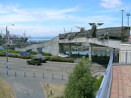
The Lobster loos are iconic public toilets in Wellington, the capital city of New Zealand. They are part of the Kumutoto public space, on Queen's Wharf along the Wellington Waterfront. They are formed from two concrete 'tentacles' covered over by a red-orange steel shroud. The toilets have been the subject of international interest. ()
Coordinates: 41°17'2"S, 174°46'41"E
Address
Queens WharfLambton Ward (Wellington Central)Wellington
ContactAdd
Social media
Add
Day trips
Lobster loos – popular in the area (distance from the attraction)
Nearby attractions include: Lambton Quay, Cuba Street, Willis Street, Thistle Inn.
Frequently Asked Questions (FAQ)
Which popular attractions are close to Lobster loos?
Nearby attractions include New Zealand Portrait Gallery, Wellington (1 min walk), Academy Galleries, Wellington (2 min walk), New Zealand Academy of Fine Arts, Wellington (2 min walk), New Zealand Olympic Museum, Wellington (3 min walk).
How to get to Lobster loos by public transport?
The nearest stations to Lobster loos:
Ferry
Train
Bus
Ferry
- Wellington Harbour Ferry (2 min walk)
Train
- Lambton (5 min walk)
- Talavera (10 min walk)
Bus
- Wellington Station Bus Interchange (10 min walk)
- Molesworth Street – Cathedral • Lines: 14, 91 (14 min walk)

