The Kilmog, Blueskin Bay
Map
Facts and practical information
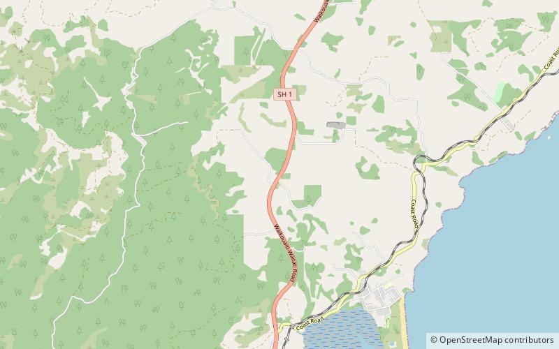
The Kilmog, occasionally called Kilmog Hill and known in Māori as Kirimoko, is a hilly area approximately 20 kilometres north of Dunedin, New Zealand, on State Highway 1, to the north of Blueskin Bay and south of Karitane. Technically more a series of hills than a single hill, it lies between the south branch of the Waikouaiti River and the Pacific Ocean, and reaches its highest point at the 431 m Hammond Hill, close to the farming community of Merton. A second peak, Porteous Hill, lies at the southern end of the Kilmog, rising to 395 m. ()
Coordinates: 45°41'24"S, 170°34'12"E
Address
Blueskin Bay
ContactAdd
Social media
Add
Day trips


