Waitati
Map
Map

Facts and practical information
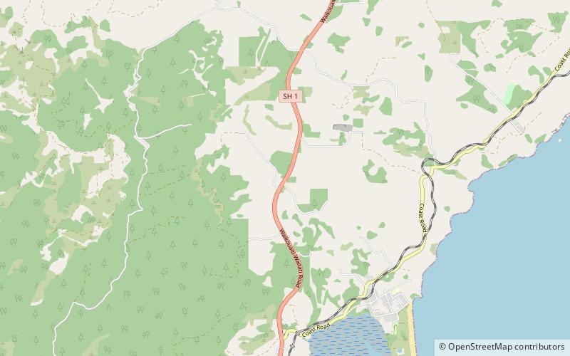
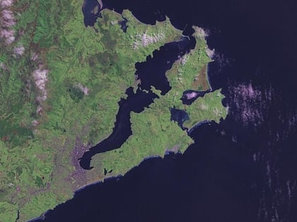
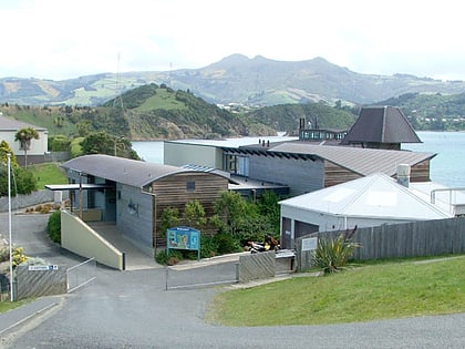
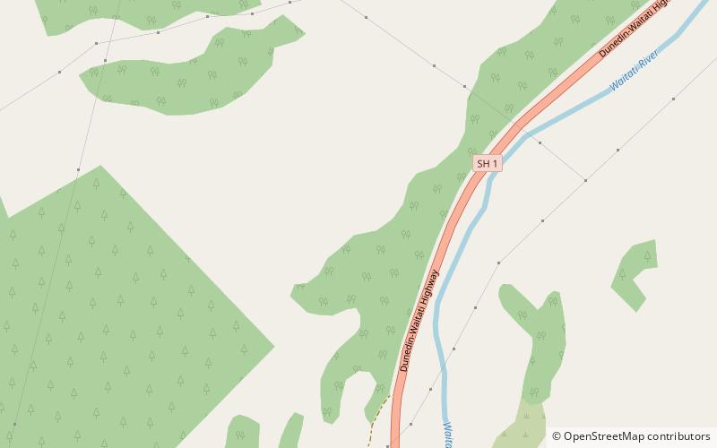
Waitati, originally known as Waitete, is a small seaside settlement in Otago, New Zealand, within the city limits of Dunedin. It is located close to the tidal mudflats of Blueskin Bay, 19 kilometres north of the Dunedin city centre. The small Waitati River flows through the bay to the sea. ()
Population: ~530 pplCoordinates: 45°45'15"S, 170°33'25"E
Location
Otago
ContactAdd
Social media
Add
Day trips
Waitati – popular in the area (distance from the attraction)
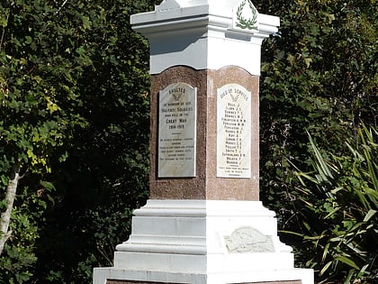
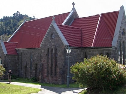
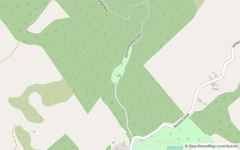
Nearby attractions include: Mount Cargill, Holy Trinity Church, Orokonui Ecosanctuary, Bethune's Gully.
