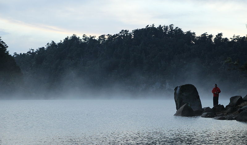
Lake Waikaremoana, Te Urewera National Park

Gallery (2)
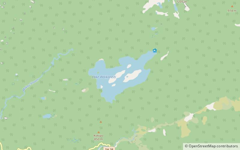
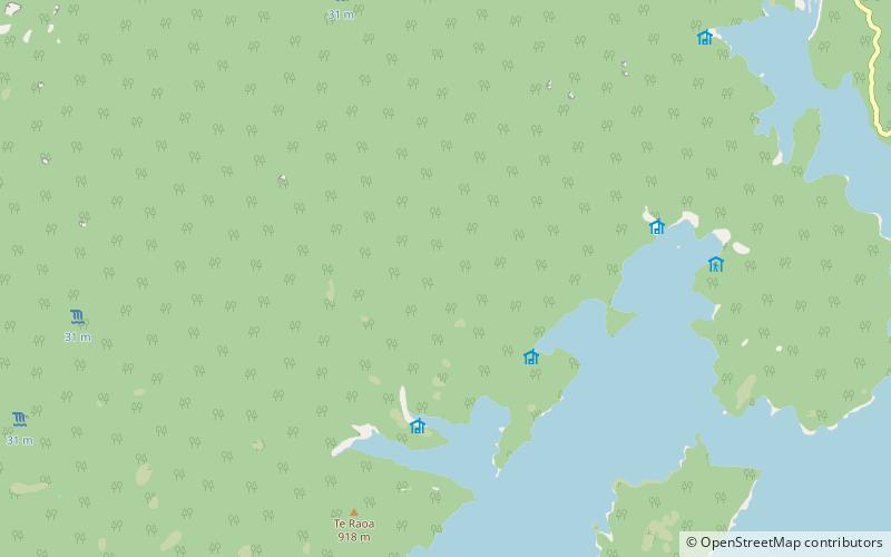
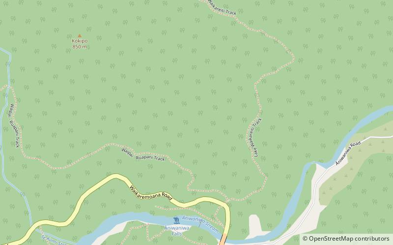
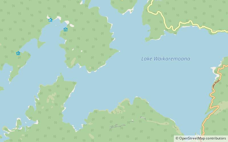
Map
Map
Gallery
Facts and practical information
Lake Waikaremoana is located in Te Urewera in the North Island of New Zealand, 60 kilometres northwest of Wairoa and 80 kilometres west-southwest of Gisborne. It covers an area of 54 km2. From the Maori Waikaremoana translates as 'sea of rippling waters'. ()
Alternative names: Area: 20.85 mi²Maximum depth: 840 ftElevation: 1919 ft a.s.l.Coordinates: 38°46'4"S, 177°4'16"E
Address
Te Urewera National Park
ContactAdd
Social media
Add
Day trips