Huiarau Range, Te Urewera National Park

Map
Facts and practical information
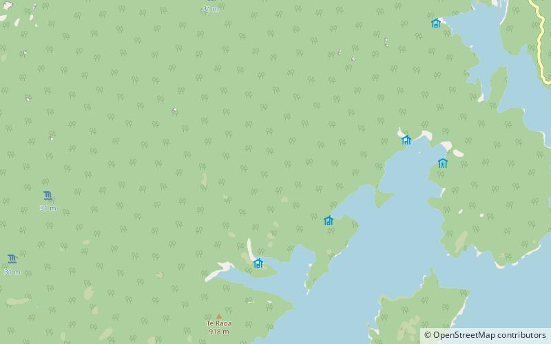
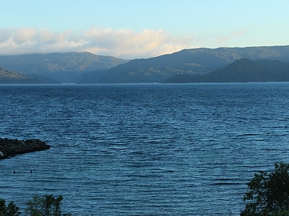
The Huiarau Range is a range of mountains in Te Urewera in the northeast of New Zealand's North Island. Part of the spine of mountains that run roughly parallel with the island's east coast, it is a southwestern extension of the Raukumara Range, lying between the end of that range and the North Island Volcanic Plateau. Peaks within the range include Mount Manuoha, Maungataniwha, and Maungapohatu. Lake Waikaremoana lies close to the southern edge of the range. ()
Address
Te Urewera National Park
ContactAdd
Social media
Add
Day trips
Huiarau Range – popular in the area (distance from the attraction)
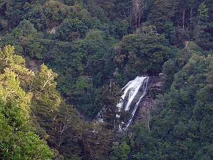
Nearby attractions include: Lake Waikaremoana Great Walk, Mokau Falls, Lake Waikaremoana.


