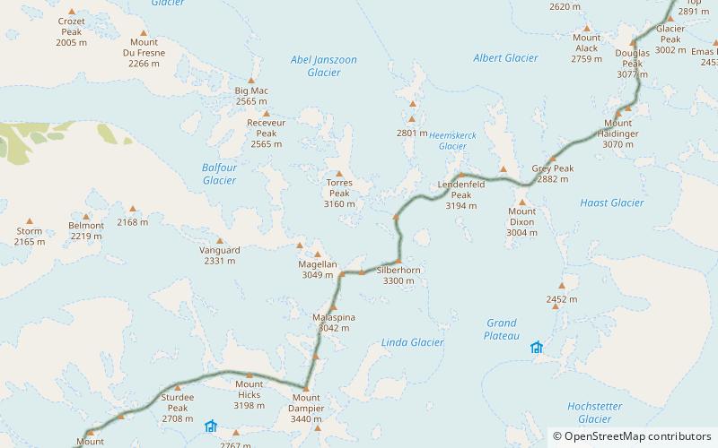
Mount Dampier, Westland National Park
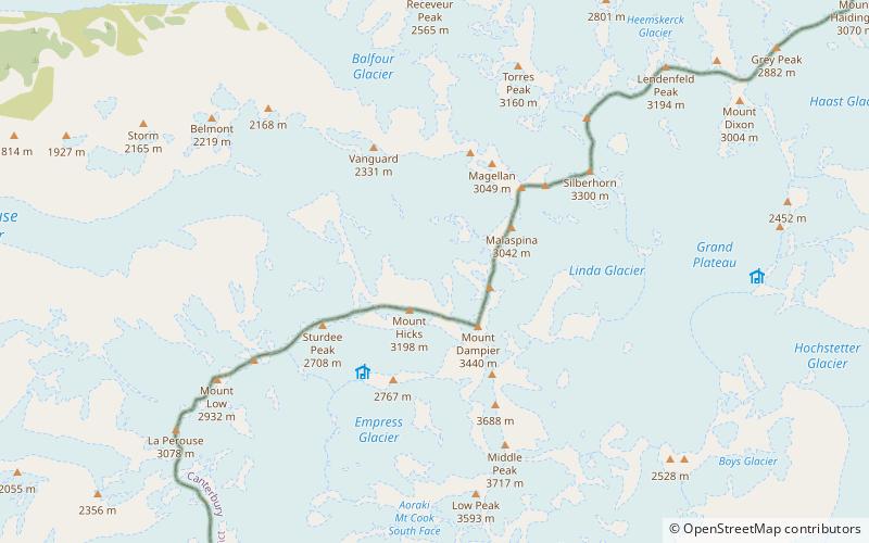
Map
Facts and practical information
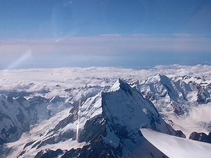
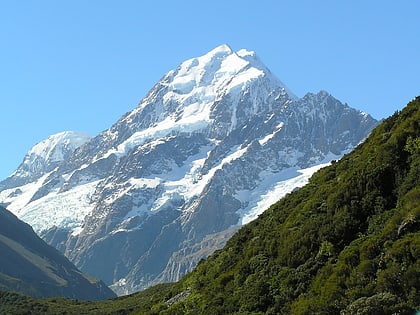
Mount Dampier is New Zealand's third highest mountain, rising to 3,440 metres. It is located in the Southern Alps, between Mount Hicks and Aoraki / Mount Cook. It is often traversed by climbers en route to the North ridge of Mount Cook. Its Māori name literally means 'long sky'. ()
Alternative names: First ascent: 1912Elevation: 11286 ftProminence: 302 ftCoordinates: 43°34'60"S, 170°7'59"E
Address
Westland National Park
ContactAdd
Social media
Add
Day trips
Mount Dampier – popular in the area (distance from the attraction)
Nearby attractions include: Aoraki / Mount Cook, Southern Alps, Mount Vancouver, Mount Tasman.
Frequently Asked Questions (FAQ)
Which popular attractions are close to Mount Dampier?
Nearby attractions include Mount Hicks, Aoraki / Mount Cook National Park (10 min walk), Mount Vancouver, Aoraki / Mount Cook National Park (12 min walk), Aoraki / Mount Cook, Aoraki / Mount Cook National Park (24 min walk).
