Mount Ruapehu, Tongariro National Park
Map
Gallery
Facts and practical information
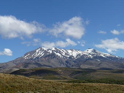
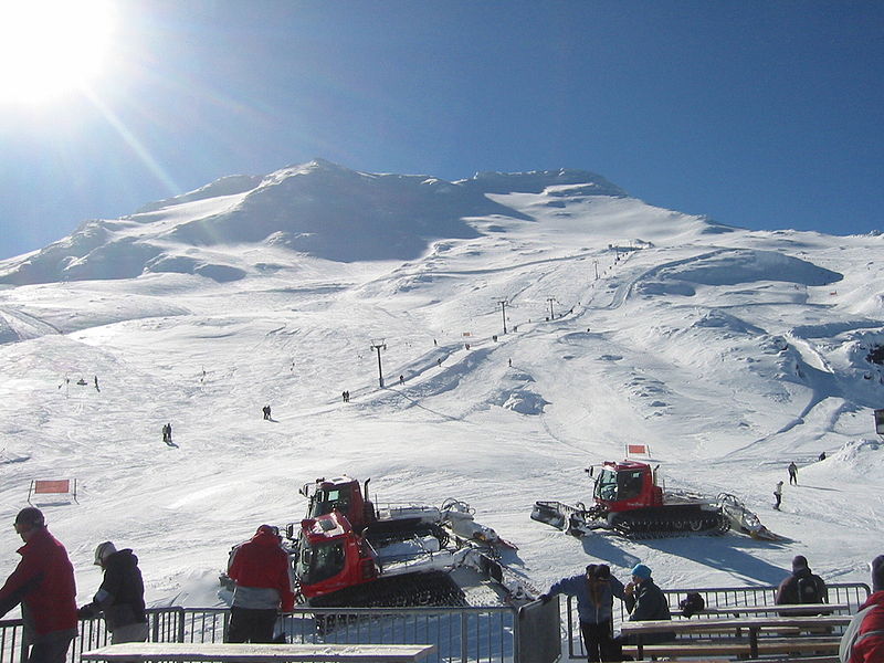
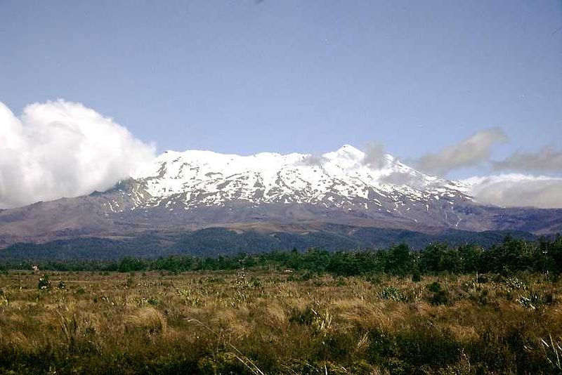
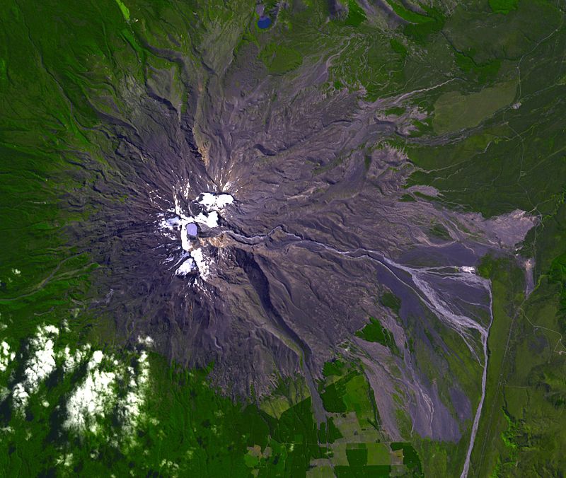
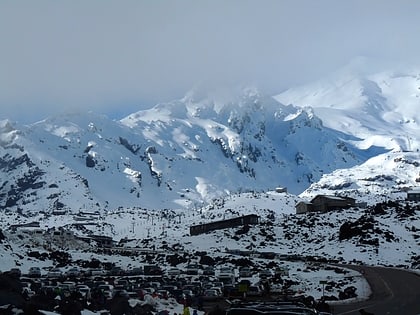
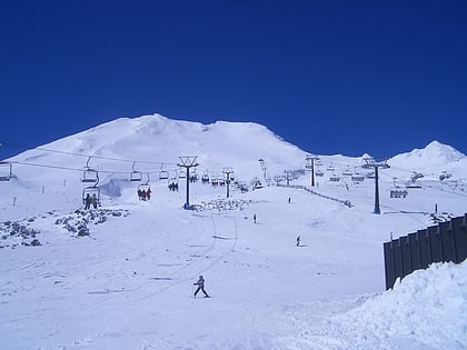
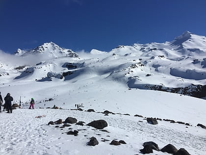
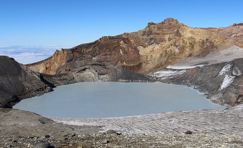
Mount Ruapehu is an active stratovolcano at the southern end of the Taupō Volcanic Zone in New Zealand. It is 23 kilometres northeast of Ohakune and 23 km southwest of the southern shore of Lake Taupō, within the Tongariro National Park. The North Island's major ski resorts and only glaciers are on its slopes. ()
Alternative names: First ascent: 1879Last eruption: 25 September 2007Elevation: 9177 ftProminence: 9177 ftCoordinates: 39°16'60"S, 175°34'1"E
Address
Tongariro National Park
ContactAdd
Social media
Add
Day trips
Mount Ruapehu – popular in the area (distance from the attraction)
Nearby attractions include: Whakapapa skifield, Turoa, Tukino.
