Turoa, Tongariro National Park

Gallery (3)
Map
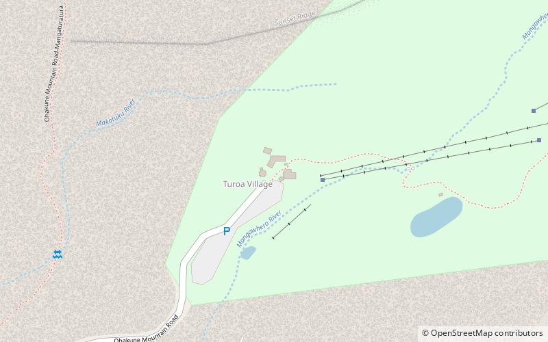
Map
Gallery
Facts and practical information
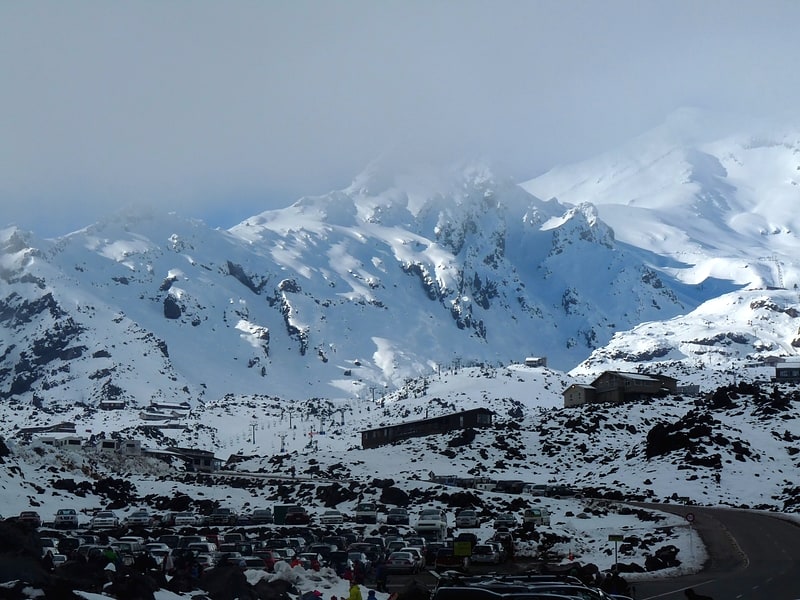
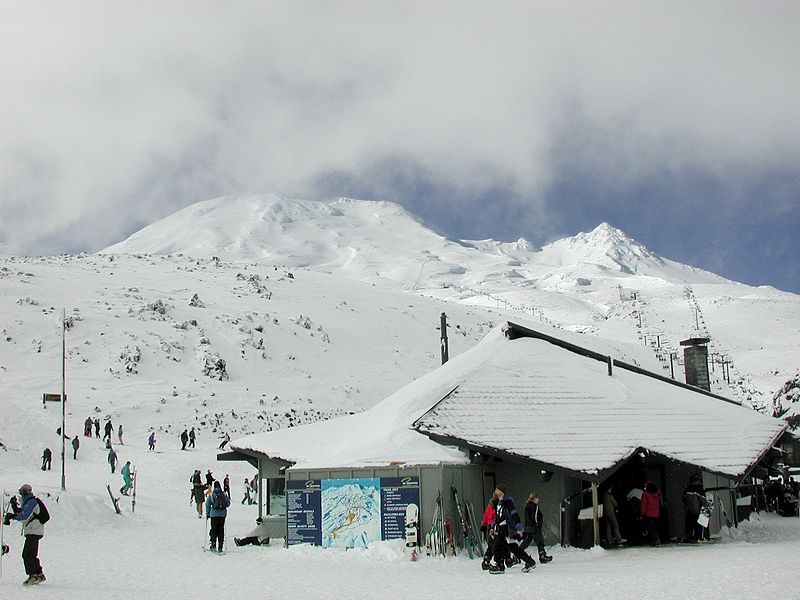
Turoa is a skifield on the south western side of Mount Ruapehu, the highest mountain in the North Island of New Zealand, in Tongariro National Park. The area has been used for skiing since before the completion of the Mountain Road, but the first lifts opened in 1978. ()
Coordinates: 39°18'17"S, 175°31'37"E
Day trips