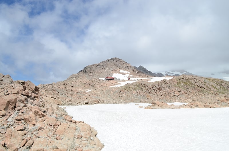
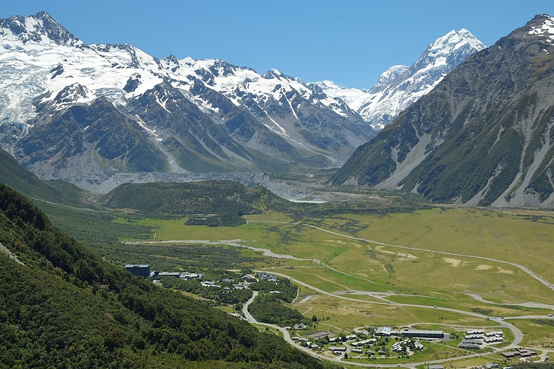
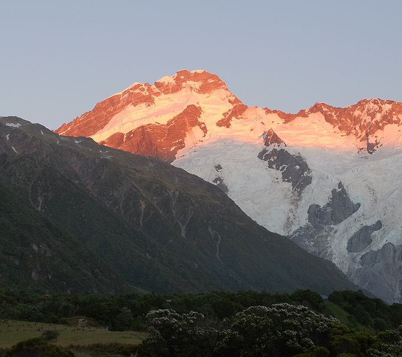
Mount Sefton, Aoraki / Mount Cook National Park

Gallery (2)
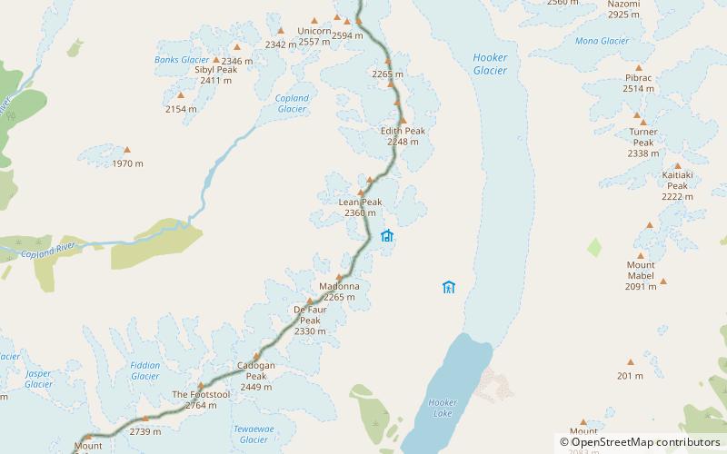
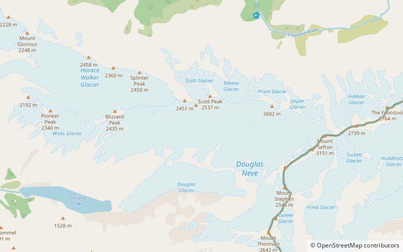
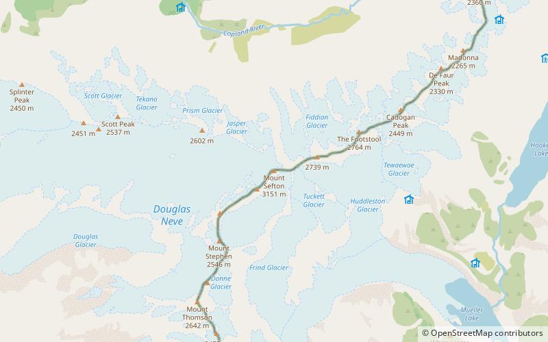
Map
Map
Gallery
Facts and practical information
Mount Sefton is a mountain in the Aroarokaehe Range of the Southern Alps of New Zealand, just 12 kilometres south of Aoraki / Mount Cook. To the south lies Mount Brunner, and to the north The Footstool, both more than 400 metres shorter. ()
Alternative names: First ascent: 1894Elevation: 10338 ftProminence: 3488 ftCoordinates: 43°40'57"S, 170°2'31"E
Address
Aoraki / Mount Cook National Park
ContactAdd
Social media
Add
Day trips