Mount Ollivier, Aoraki / Mount Cook National Park
Gallery (4)
Map

Map
Gallery
Facts and practical information
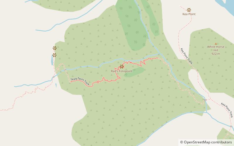
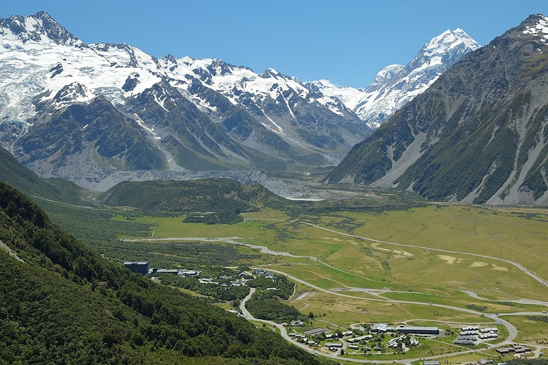
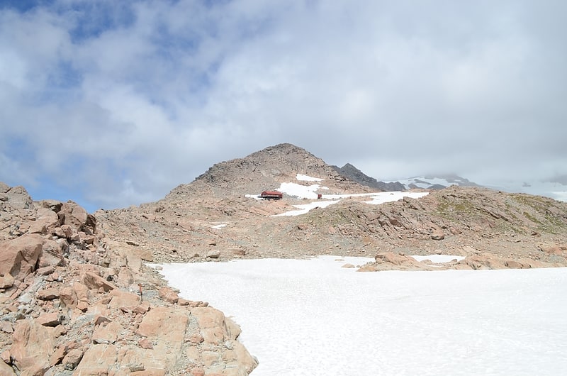
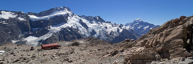
Mount Ollivier is a 1,933 m mountain in the Canterbury region of New Zealand. It is a peak in the Sealy Range, about 2.5 km west of Mount Cook Village. The peak is named after mountaineer Arthur Ollivier, who died in 1897. ()
Address
Aoraki / Mount Cook National Park
ContactAdd
Social media
Add
Day trips