Leith Saddle, Dunedin
Map
Map

Facts and practical information
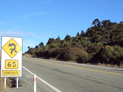
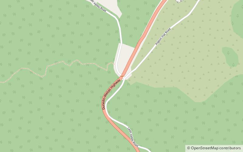
Leith Saddle is a saddle between the sources of the Water of Leith and the Waitati River, approximately halfway between Dunedin's northern suburb of Pine Hill and the outlying settlement of Waitati. The saddle is a strategic point where the Dunedin Northern Motorway, part of State Highway 1 traverses a fragile alpine forest. Proposed road works to straighten a dangerous corner here conflict with conservation values. Water supply pipelines, and popular tramping and cycling routes also converge at the saddle. ()
Coordinates: 45°48'0"S, 170°30'58"E
Address
Dunedin
ContactAdd
Social media
Add
Day trips
Leith Saddle – popular in the area (distance from the attraction)
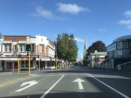
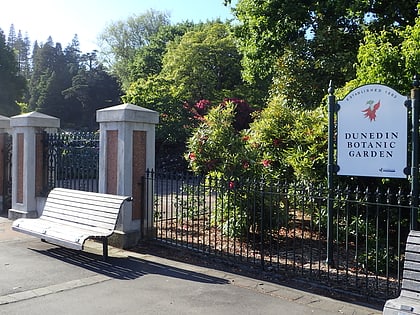
Nearby attractions include: George Street, Mount Cargill, Dunedin Botanic Garden, Baldwin Street.
