Windy Canyon, Great Barrier Island
Map

Map

Facts and practical information
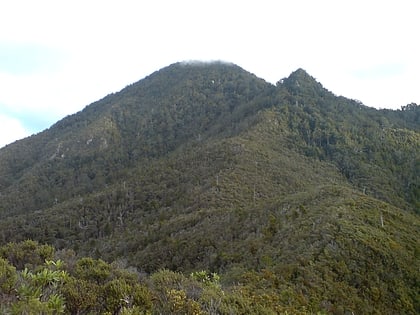
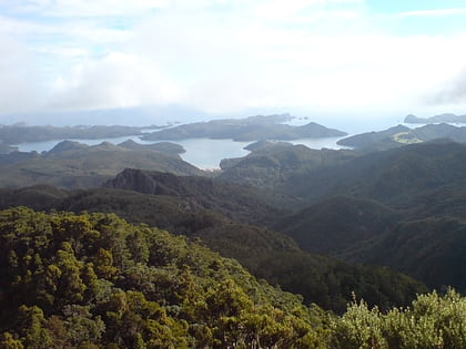
Windy Canyon is a canyon and associated walking track on Great Barrier Island, New Zealand. Located in the centre east of the island, the canyon is a wind funnel shaped from andesitic rock. The canyon is located on one of the highest stretches of the island, less than 200 m below the 621 m summit of Mount Hobson. From the canyon it is possible to view the Okiwi and Awana lowlands. ()
Coordinates: 36°12'38"S, 175°27'54"E
Address
Great Barrier Island
ContactAdd
Social media
Add
Day trips
Windy Canyon – popular in the area (distance from the attraction)
Nearby attractions include: Mount Hobson, Aotea Conservation Park, Dragon Island, Claris.


