Aotea Conservation Park, Great Barrier Island
Map
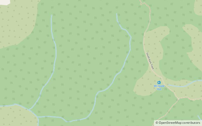
Map

Facts and practical information
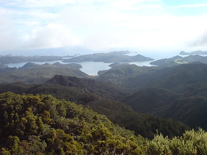
Aotea Conservation Park is a 12,300 hectare protected area on Great Barrier Island in New Zealand's Hauraki Gulf. It was established in 2015, and comprises 43 percent of the island. ()
Area: 49.79 mi²Coordinates: 36°11'31"S, 175°24'29"E
Address
Great Barrier Island
ContactAdd
Social media
Add
Day trips
Aotea Conservation Park – popular in the area (distance from the attraction)
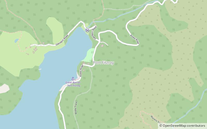
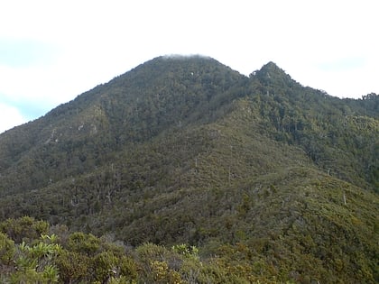
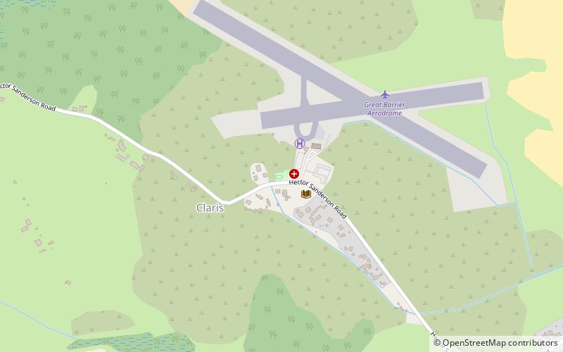
Nearby attractions include: Port Fitzroy, Mount Hobson, Windy Canyon, Dragon Island.
