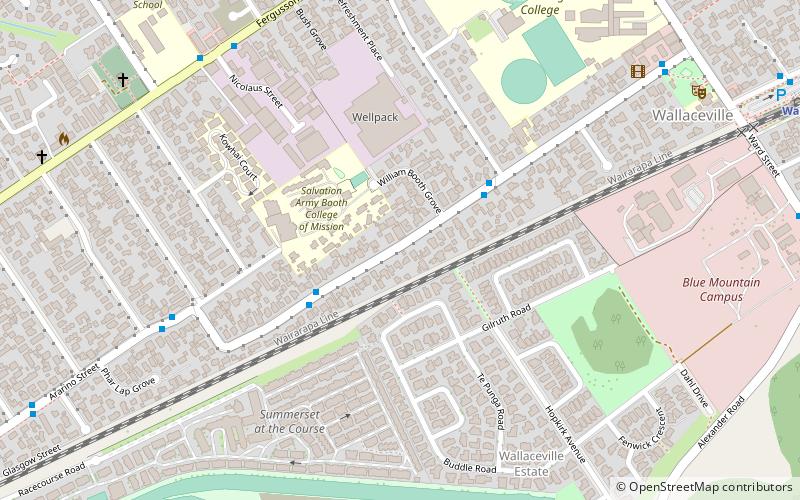
Wallaceville, Upper Hutt
Map
Facts and practical information
Wallaceville is a suburb of Upper Hutt. It is named after John Howard Wallace, an early New Zealand settler, council politician, businessman and author of one of the first published histories of New Zealand. ()
Coordinates: 41°7'59"S, 175°3'0"E
Address
Upper Hutt
ContactAdd
Social media
Add
Getting there by public transportation
Public transportation stops near this location
- Bus
- Train
 Bus
Bus
- Calculate routeMiro Street 4 min walk
- Calculate routeWallaceville 13 min walk
- Calculate routeTrentham 18 min walk
Day trips


Frequently Asked Questions (FAQ)
Which popular attractions are close to Wallaceville?
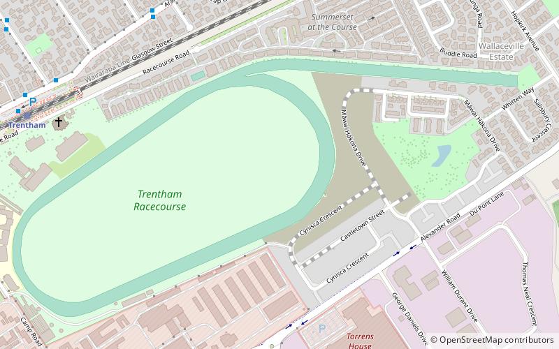
Nearby attractions include Upper Hutt Blockhouse, Upper Hutt (8 min walk), St John's Anglican Church, Upper Hutt (10 min walk), Golder Cottage, Upper Hutt (16 min walk), Trentham Racecourse, Upper Hutt (16 min walk).
How to get to Wallaceville by public transport?
The nearest stations to Wallaceville:
Bus
Train
Bus
- Miro Street • Lines: 115 (4 min walk)
Train
- Wallaceville (13 min walk)
- Trentham (18 min walk)