Dent Island
Map

Gallery

Facts and practical information
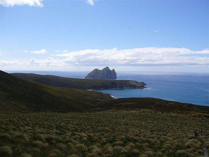
Dent Island is a subantarctic 26-hectare rock stack, lying 3 km west of Campbell Island and belonging to the Campbell Island group. Dent Island is located at 52°31.15′S 169°3.75′E. It was named by the French 1874 Transit of Venus Expedition to Campbell Island because of its resemblance to a tooth. ()
Alternative names: Area: 56.83 acres (0.0888 mi²)Maximum elevation: 374 ftArchipelago: Campbell Island groupCoordinates: 52°31'9"S, 169°3'43"E
Location
Southern Islands
ContactAdd
Social media
Add
Day trips
Dent Island – popular in the area (distance from the attraction)
Nearby attractions include: Mount Honey.

