Mount Honey, Campbell Island

Gallery (1)
Map
Map
Facts and practical information
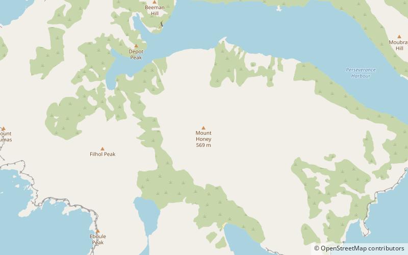
Mount Honey is the highest point on Campbell Island, the southernmost of New Zealand's subantarctic outlying islands. It is located to the south of Perseverance Harbour, a long lateral fissure which reaches the ocean in the island's southeast, and rises to a height of 558 metres. ()
Coordinates: 52°34'16"S, 169°9'58"E
Address
Campbell Island
ContactAdd
Social media
Add
Day trips

