Taylors Hill, Auckland
Map

Map

Facts and practical information
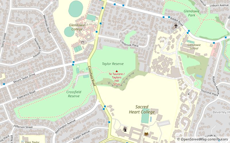
Taylors Hill, is a volcano in the Auckland volcanic field. It erupted about 33,000 years ago. Its scoria cone reaches 56 m high. ()
Coordinates: 36°51'53"S, 174°52'12"E
Address
Central Auckland (Glendowie)Auckland
ContactAdd
Social media
Add
Day trips
Taylors Hill – popular in the area (distance from the attraction)
Nearby attractions include: YMCA at Glen Innes Pool, Saint Heliers, Churchill Park, Colin Maiden Park.
Frequently Asked Questions (FAQ)
How to get to Taylors Hill by public transport?
The nearest stations to Taylors Hill:
Train
Bus
Train
- Glen Innes (34 min walk)
Bus
- Tamaki Campus • Lines: 650 (41 min walk)


