Saint Heliers, Auckland

Gallery (5)
Map

Map

Gallery
Facts and practical information
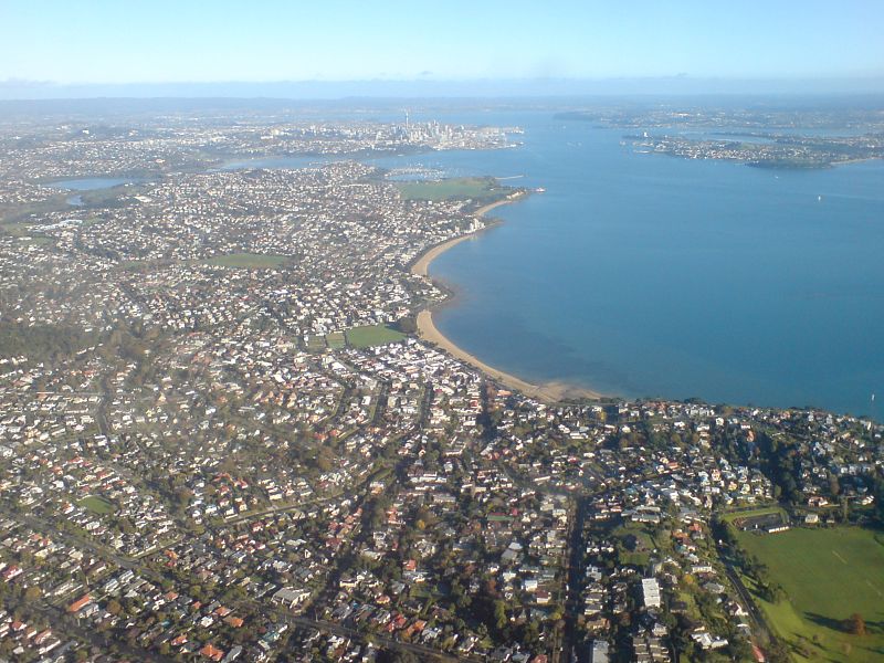
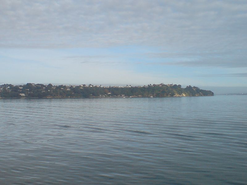
Saint Heliers is an affluent seaside suburb of Auckland with a population of 4824. This suburb is popular amongst visitors for the beaches, cafés, and views of Rangitoto Island, the distinctive volcanic island in the Hauraki Gulf. ()
Coordinates: 36°51'10"S, 174°51'29"E
Address
Central Auckland (Saint Heliers)Auckland
ContactAdd
Social media
Add
Day trips


