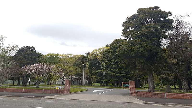
Kaitoke Regional Park, Upper Hutt

Gallery (1)
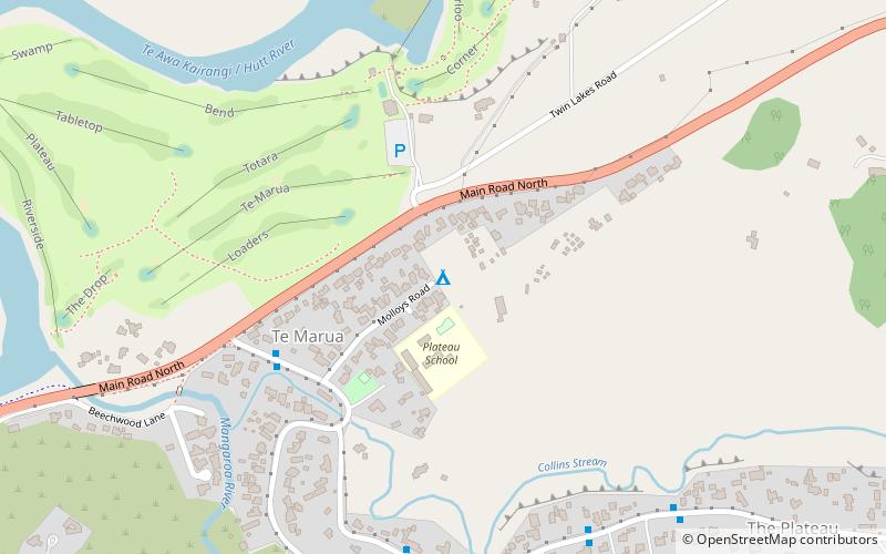
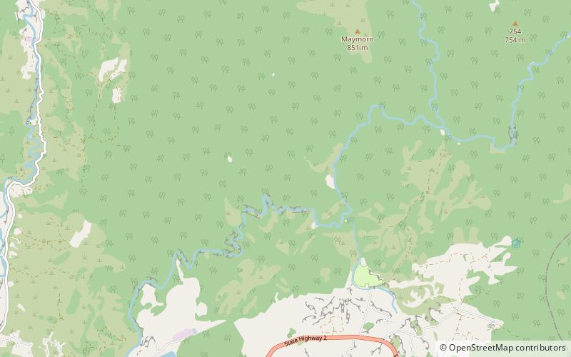
Map
Map
Facts and practical information
Kaitoke Regional Park (address: Akatarawa Valley, Upper Hutt) is a place located in Upper Hutt (Wellington region) and belongs to the category of view point.
It is situated at an altitude of 1437 feet, and its geographical coordinates are 41°2'59"S latitude and 175°10'44"E longitude.
Among other places and attractions worth visiting in the area are: Kaitoke Regional Park (park, 41 min walk), Wellington Naturist Club (campsite, 97 min walk), Karapoti Gorge (nature, 117 min walk).
Coordinates: 41°2'59"S, 175°10'44"E
Address
Akatarawa Valley, Upper HuttUpper Hutt
ContactAdd
Social media
Add
Day trips