Kaitoke Regional Park
Map

Map

Facts and practical information
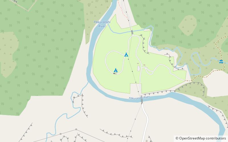
Kaitoke Regional Park is regional park located at Kaitoke, northeast of Upper Hutt, in the Wellington Region of New Zealand's southern North Island. It is administered by Wellington Regional Council, alongside the adjacent regional park of Hutt Water Collection Area. ()
Elevation: 633 ft a.s.l.Coordinates: 41°4'5"S, 175°11'49"E
Location
Wellington
ContactAdd
Social media
Add
Day trips
Kaitoke Regional Park – popular in the area (distance from the attraction)
Nearby attractions include: Karapoti Gorge, Harcourt Park, Wellington Naturist Club, Kaitoke Regional Park.


