Christchurch Gondola, Christchurch
Map

Map

Facts and practical information
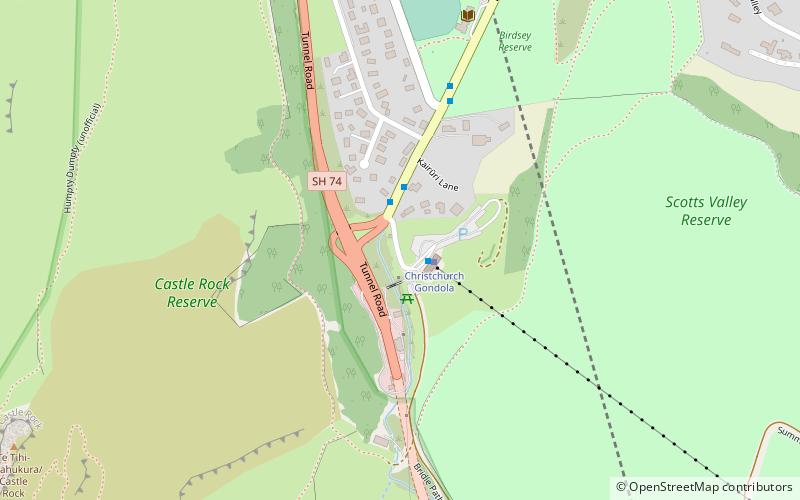
Christchurch Gondola (address: 10 Bridle Path Road) is a place located in Christchurch (Canterbury region) and belongs to the category of restaurant, eat and drink.
It is situated at an altitude of 210 feet, and its geographical coordinates are 43°35'5"S latitude and 172°42'25"E longitude.
Among other places and attractions worth visiting in the area are: Heathcote Valley Gallery (museum, 13 min walk), Mount Cavendish (mountain, 14 min walk), Lyttelton Rail Tunnel (tunnel, 16 min walk).
Coordinates: 43°35'5"S, 172°42'25"E
Day trips
Christchurch Gondola – popular in the area (distance from the attraction)
Nearby attractions include: Bridle Path, Mount Cavendish, Ferrymead Heritage Park, Tauhinukorokio / Mount Pleasant.
Frequently Asked Questions (FAQ)
Which popular attractions are close to Christchurch Gondola?
Nearby attractions include Heathcote Valley Gallery, Christchurch (13 min walk), Lyttelton Rail Tunnel, Christchurch (16 min walk), Lyttelton road tunnel, Christchurch (18 min walk), Port Hills, Christchurch (24 min walk).


