Lyttelton road tunnel, Christchurch
Map
Gallery
Facts and practical information
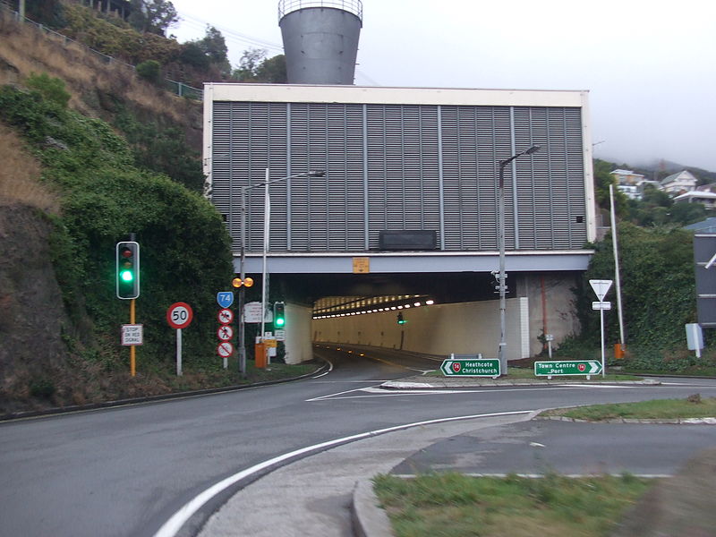
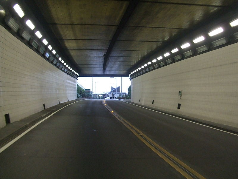
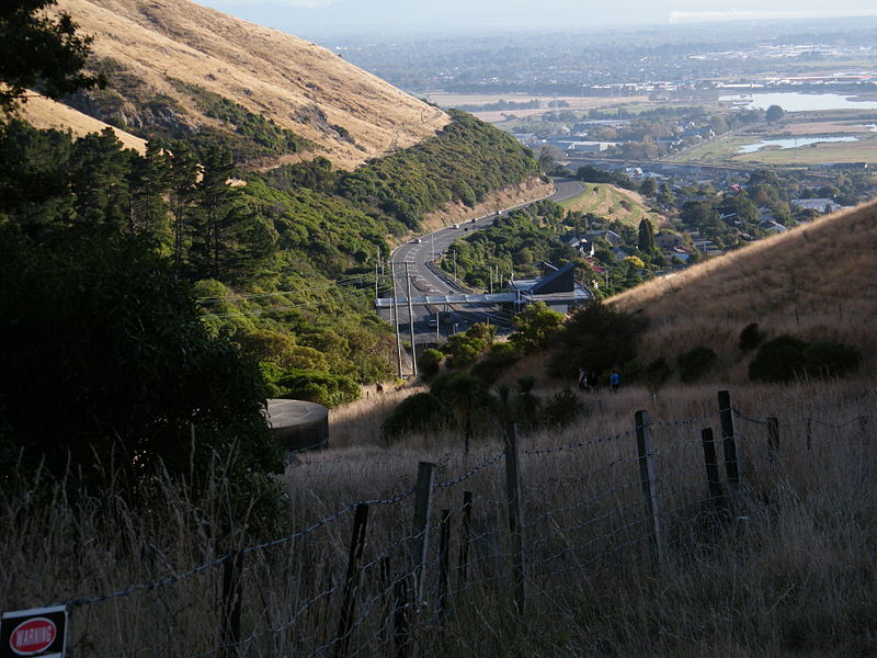
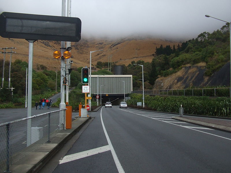
The Lyttelton road tunnel runs through the Port Hills to connect the New Zealand city of Christchurch and its seaport, Lyttelton. It opened in 1964 and carries just over 10,000 vehicles per day as part of State Highway 74. ()
Coordinates: 43°35'39"S, 172°42'42"E
Address
LytteltonChristchurch
ContactAdd
Social media
Add
Day trips
Lyttelton road tunnel – popular in the area (distance from the attraction)
Nearby attractions include: Bridle Path, Mount Cavendish, Lyttelton Timeball Station, Tauhinukorokio / Mount Pleasant.
Frequently Asked Questions (FAQ)
How to get to Lyttelton road tunnel by public transport?
The nearest stations to Lyttelton road tunnel:
Bus
Bus
- Lyttelton Jetty • Lines: 155 (23 min walk)


