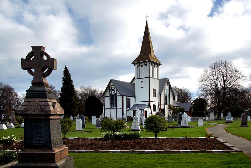
St Paul's Anglican Church, Christchurch
Map
Gallery
Facts and practical information
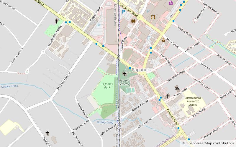
St Paul's Anglican Church is a Category II listed heritage building in the Christchurch, New Zealand suburb of Papanui. ()
Coordinates: 43°29'49"S, 172°36'22"E
Address
PapanuiChristchurch
ContactAdd
Social media
Add
Day trips
St Paul's Anglican Church – popular in the area (distance from the attraction)
Nearby attractions include: Hagley Park, Westfield Riccarton, Mona Vale, Christchurch Art Gallery.
Frequently Asked Questions (FAQ)
How to get to St Paul's Anglican Church by public transport?
The nearest stations to St Paul's Anglican Church:
Bus
Bus
- Wairakei Rd near Pitcairn Cres • Lines: 17 (18 min walk)

